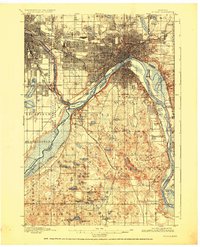
1896 Map of St. Paul
USGS Topo · Published 1926About this map
The confluence of the Minnesota River and the Mississippi River anchors this late 19th-century survey, centered on the strategic Fort Snelling Military Reservation. At this time, the twin cities of Minneapolis and St. Paul are expanding rapidly, their urban grids pushing toward the bluffs. The riverbanks are defined by a complex network of railroads, including the Minnesota Belt Line Ry. and the Chicago Milwaukee and St. Paul, which weave through the river valleys and serve riverside industrial outposts like South St. Paul.
Find a feature on this map
83 named features on this map. Tap any name to fly to it.
Don’t see what you’re looking for? This feature index may not catch every label — zoom into the map to look around manually.
Map Details
Editions of this 1896 St. Paul Map
11 editions found

1896 edition
16.72 x 20.65 inches
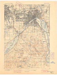
1901 edition
15.7 x 20.57 inches
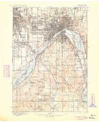
1906 edition
16.59 x 20.43 inches
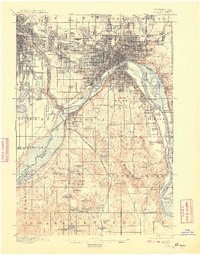
1908 edition
15.92 x 20.34 inches
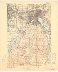
1909 edition
16.57 x 20.33 inches
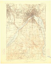
1913 edition
16.23 x 20.26 inches
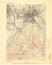
1917 edition
16.44 x 20.52 inches
1926 edition
16.61 x 20.49 inches
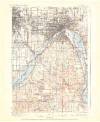
1928 edition
16.55 x 20.24 inches
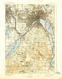
1938 edition
15.74 x 19.97 inches
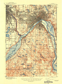
1947 edition
15.2 x 20.5 inches
Other maps of this area

1896 · Minneapolis
USGS Topo · 1:62,500
1896 · St. Paul
USGS Topo · 1:62,500

1901 · Minneapolis
USGS Topo · 1:62,500

1902 · White Bear
USGS Topo · 1:62,500

1902 · Anoka
USGS Topo · 1:62,500

1946 · Hudson
USGS Topo · 1:62,500

1948 · Stillwater
USGS Topo · 1:62,500

1949 · Hudson
USGS Topo · 1:62,500

1949 · Stillwater
USGS Topo · 1:62,500

1949 · Lake Elmo
USGS Topo · 1:24,000