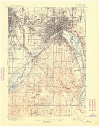
1896 Map of St. Paul
USGS Topo · Published 1908About this map
The confluence of the Mississippi River and Minnesota River serves as the focal point for this survey, anchored by the Fort Snelling military reservation and the historic settlement of Mendota. The landscape of the late nineteenth century is defined by a dense web of rail infrastructure, including the Great Northern, Northern Pacific, and the Minnesota Belt Line R.R., which facilitated the rapid growth of St. Paul and industrial hubs like South St. Paul. Beyond the city centers, the map reveals a countryside dotted with numerous glacial lakes such as Lake Como, Phalen Lake, and Amelia Lake. Local history is preserved through the naming of landmarks like Pilot Knob and the natural wonder of Minnehaha Falls. Small villages and rail stops such as Inver Grove, Westcott, and Pine Bend provide a look at the residential and agricultural patterns extending southward into Dakota County before the full onset of modern suburbanization.
Find a feature on this map
102 named features on this map. Tap any name to fly to it.
Don’t see what you’re looking for? This feature index may not catch every label — zoom into the map to look around manually.
Map Details
Editions of this 1896 St. Paul Map
11 editions found

1896 edition
16.72 x 20.65 inches
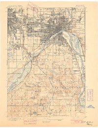
1901 edition
15.7 x 20.57 inches
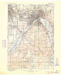
1906 edition
16.59 x 20.43 inches
1908 edition
15.92 x 20.34 inches
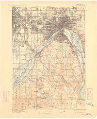
1909 edition
16.57 x 20.33 inches
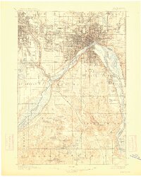
1913 edition
16.23 x 20.26 inches
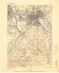
1917 edition
16.44 x 20.52 inches
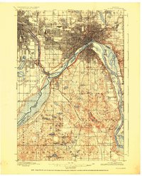
1926 edition
16.61 x 20.49 inches
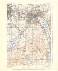
1928 edition
16.55 x 20.24 inches
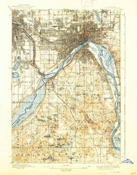
1938 edition
15.74 x 19.97 inches
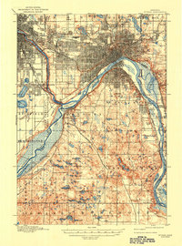
1947 edition
15.2 x 20.5 inches
Other maps of this area

1896 · Minneapolis
USGS Topo · 1:62,500
1896 · St. Paul
USGS Topo · 1:62,500

1901 · Minneapolis
USGS Topo · 1:62,500

1902 · White Bear
USGS Topo · 1:62,500

1902 · Anoka
USGS Topo · 1:62,500

1946 · Hudson
USGS Topo · 1:62,500

1948 · Stillwater
USGS Topo · 1:62,500

1949 · Hudson
USGS Topo · 1:62,500

1949 · Stillwater
USGS Topo · 1:62,500

1949 · Lake Elmo
USGS Topo · 1:24,000