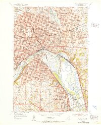
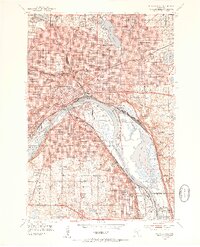
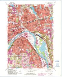
1951 Map of St. Paul East
USGS Topo · Published 1953About this map
The Mississippi River curves through this mid-century portrait of the Twin Cities' eastern half, anchoring a landscape where civic grandeur and industrial infrastructure meet. The State Capitol and St Paul Cathedral stand as prominent landmarks overlooking a densely developed urban core, while the riverbanks are defined by Holman Airport and the complex rail networks of the Great Northern and Chicago Great Western lines. The map reveals the era's institutional footprint, from the Gillette State Hospital near Phalen Lake to the Mounds Park Sanitarium perched above the river bluffs.
Find a feature on this map
133 named features on this map. Tap any name to fly to it.
Don’t see what you’re looking for? This feature index may not catch every label — zoom into the map to look around manually.
Map Details
Editions of this 1951 St. Paul East Map
2 editions found
Historical Maps of Battle Creek Through Time
11 maps found
1951 St. Paul East
Ramsey County, MN

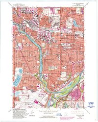
1951 St. Paul West
Ramsey County, MN
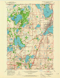
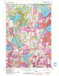
1952 White Bear Lake West
Ramsey County, MN
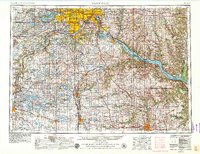
1953 Saint Paul
Ramsey County, MN

1959 Saint Paul
Ramsey County, MN
1967 St Paul East
Ramsey County, MN
1967 St. Paul West
Ramsey County, MN
1967 White Bear Lake West
Ramsey County, MN
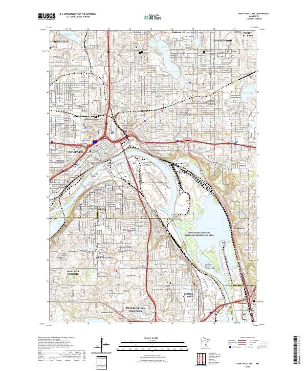
2022 Saint Paul East
Ramsey County, MN
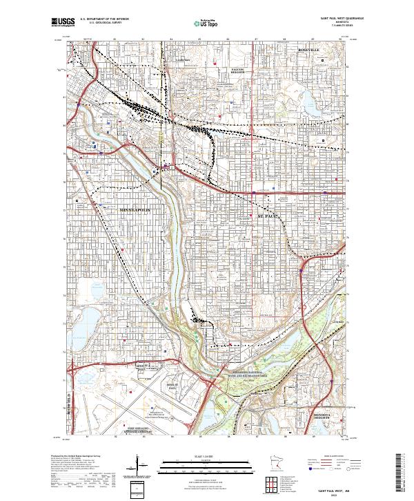
2022 Saint Paul West
Ramsey County, MN
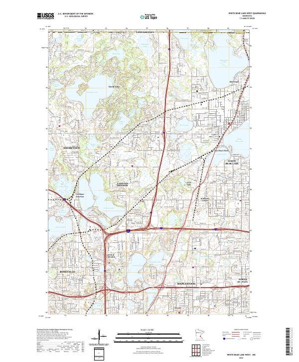
2022 White Bear Lake West
Ramsey County, MN