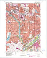
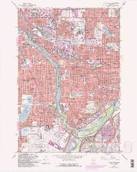
1967 Map of St. Paul West
USGS Topo · Published 1993About this map
The Mississippi River carves a deep valley between the Twin Cities, defining the boundary where Minneapolis and St Paul meet. This mid-century view documents a landscape of established institutions and major transit corridors, from the sprawling State Fairgrounds and University of Minnesota campus to the massive footprint of the Minneapolis-St Paul International Airport. The geography is dotted with significant local landmarks including Minnehaha Falls and the vast Fort Snelling Nat Cem, while neighborhood life is traced through numerous parochial schools like St James Sch and St Luke Sch. Historically significant sites like the Pioneers and Soldiers Cem and the riverfront village of Mendota provide a look into the region's 19th-century roots, even as modern infrastructure like Interchange 25 signals the post-war suburban shift in Roseville and Falcon Heights.
Find a feature on this map
110 named features on this map. Tap any name to fly to it.
Don’t see what you’re looking for? This feature index may not catch every label — zoom into the map to look around manually.
Map Details
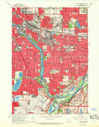
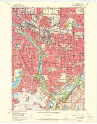
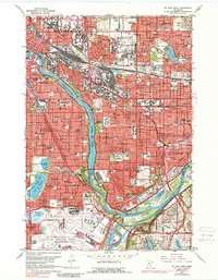
Editions of this 1967 St. Paul West Map
5 editions found
Other maps of this area

1896 · Minneapolis
USGS Topo · 1:62,500

1896 · St. Paul
USGS Topo · 1:62,500

1901 · Minneapolis
USGS Topo · 1:62,500

1902 · White Bear
USGS Topo · 1:62,500

1902 · Anoka
USGS Topo · 1:62,500

1951 · St. Paul West
USGS Topo · 1:24,000

1951 · Inver Grove
USGS Topo · 1:24,000

1951 · St. Paul SW
USGS Topo · 1:24,000

1951 · St. Paul East
USGS Topo · 1:24,000

1951 · St. Paul
USGS Topo · 1:62,500