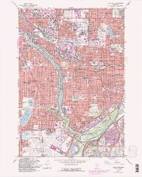
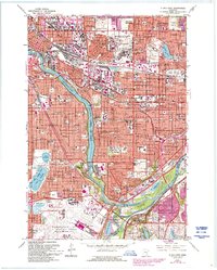
1967 Map of St. Paul West
USGS Topo · Published 1993About this map
The Mississippi River carves a deep valley through the heart of the Twin Cities, serving as a natural boundary between the expanding grids of Minneapolis and St Paul. This late-century update captures a landscape defined by its institutional and military history, anchored by the massive Fort Snelling Mil Res and the adjacent Fort Snelling Nat Cem. To the north, the State Fairgrounds and the University of Minnesota St Paul Campus mark significant cultural and educational hubs, while the Minneapolis-St Paul International Airport occupies the southern reaches near the river confluence.
Find a feature on this map
141 named features on this map. Tap any name to fly to it.
Don’t see what you’re looking for? This feature index may not catch every label — zoom into the map to look around manually.
Map Details
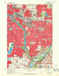
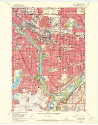
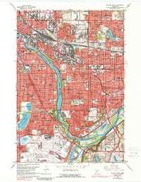
Editions of this 1967 St. Paul West Map
5 editions found
Other maps of this area

1896 · Minneapolis
USGS Topo · 1:62,500

1896 · St. Paul
USGS Topo · 1:62,500

1901 · Minneapolis
USGS Topo · 1:62,500

1902 · White Bear
USGS Topo · 1:62,500

1902 · Anoka
USGS Topo · 1:62,500

1951 · St. Paul West
USGS Topo · 1:24,000

1951 · Inver Grove
USGS Topo · 1:24,000

1951 · St. Paul SW
USGS Topo · 1:24,000

1951 · St. Paul East
USGS Topo · 1:24,000

1951 · St. Paul
USGS Topo · 1:62,500