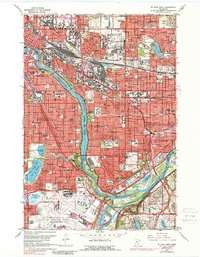
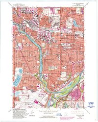
1967 Map of St. Paul West
USGS Topo · Published 1988About this map
The Mississippi River and Minnesota River converge at the heart of this urban landscape, defining the boundaries between Minneapolis and St Paul. This mid-century survey captures the Twin Cities during a period of dense institutional and transportation expansion, featuring the sprawling Minneapolis-St Paul International Airport and the nearby Naval Air Station. The educational character of the region is evident through the presence of several major campuses, including the University of Minnesota and Macalester College.
Find a feature on this map
134 named features on this map. Tap any name to fly to it.
Don’t see what you’re looking for? This feature index may not catch every label — zoom into the map to look around manually.
Map Details
Editions of this 1967 St. Paul West Map
5 editions found
Other maps of this area

1896 · Minneapolis
USGS Topo · 1:62,500

1896 · St. Paul
USGS Topo · 1:62,500

1901 · Minneapolis
USGS Topo · 1:62,500

1902 · White Bear
USGS Topo · 1:62,500

1902 · Anoka
USGS Topo · 1:62,500

1951 · St. Paul West
USGS Topo · 1:24,000

1951 · Inver Grove
USGS Topo · 1:24,000

1951 · St. Paul SW
USGS Topo · 1:24,000

1951 · St. Paul East
USGS Topo · 1:24,000

1951 · St. Paul
USGS Topo · 1:62,500