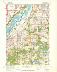
1967 Map of St. Paul SW
USGS Topo · Published 1969About this map
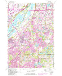
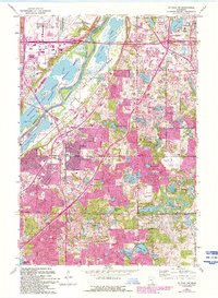
Minnesota River bottomlands and the emerging suburbs of the Twin Cities define this landscape during a period of rapid mid-century expansion. The map details the massive infrastructure of Minneapolis-St Paul International Airport and the nearby Metropolitan Stadium in Bloomington, signaling the region's shift toward major urban development. South of the river, the small settlement of Nicols sits near the Chicago and North Western tracks, while newer residential pockets like Cedar Grove and Burnsville are shown in their early growth phases. The terrain is marked by a high density of water bodies, from the sprawling Gun Club Lake and Black Dog Lake to smaller prairie potholes like Holland Lake and Farquar Lake. Extensive sections marked as under construction in Mendota Heights illustrate the transformation of formerly agricultural land into a modern metropolitan corridor.
Find a feature on this map
63 named features on this map. Tap any name to fly to it.
Don’t see what you’re looking for? This feature index may not catch every label — zoom into the map to look around manually.
Map Details
Editions of this 1967 St. Paul SW Map
6 editions found
Other maps of this area

1896 · Minneapolis
USGS Topo · 1:62,500

1896 · St. Paul
USGS Topo · 1:62,500

1901 · Minneapolis
USGS Topo · 1:62,500

1951 · St. Paul West
USGS Topo · 1:24,000

1951 · Inver Grove
USGS Topo · 1:24,000

1951 · St. Paul SW
USGS Topo · 1:24,000

1951 · St. Paul East
USGS Topo · 1:24,000

1951 · St. Paul
USGS Topo · 1:62,500

1952 · Minneapolis South
USGS Topo · 1:24,000

1953 · Saint Paul
USGS Topo · 1:250,000