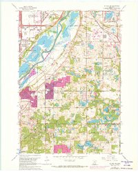
1967 Map of St Paul SW
USGS Topo · Published 1973About this map
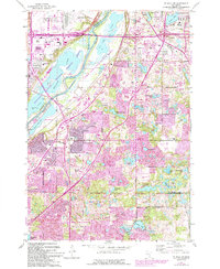
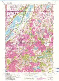
The Minnesota River carves a wide valley through the center of this landscape, separating the developing suburban centers of Bloomington and Burnsville. The northern reaches are dominated by significant regional infrastructure, including the sprawling Minneapolis-St Paul International Airport and the iconic Metropolitan Stadium. This era shows the early expansion of residential pockets like Cedar Grove and Nicols amidst a terrain still heavily defined by glacial lakes and wetlands, such as Black Dog Lake and Gun Club Lake.
Find a feature on this map
75 named features on this map. Tap any name to fly to it.
Don’t see what you’re looking for? This feature index may not catch every label — zoom into the map to look around manually.
Map Details
Editions of this 1967 St Paul SW Map
6 editions found
Other maps of this area

1896 · Minneapolis
USGS Topo · 1:62,500

1896 · St. Paul
USGS Topo · 1:62,500

1901 · Minneapolis
USGS Topo · 1:62,500

1951 · St. Paul West
USGS Topo · 1:24,000

1951 · Inver Grove
USGS Topo · 1:24,000

1951 · St. Paul SW
USGS Topo · 1:24,000

1951 · St. Paul East
USGS Topo · 1:24,000

1951 · St. Paul
USGS Topo · 1:62,500

1952 · Minneapolis South
USGS Topo · 1:24,000

1953 · Saint Paul
USGS Topo · 1:250,000