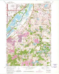
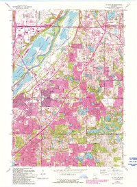
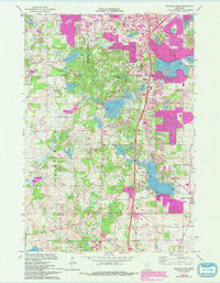
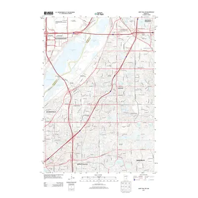
1967 Map of St Paul SW
USGS Topo · Published 1981About this map
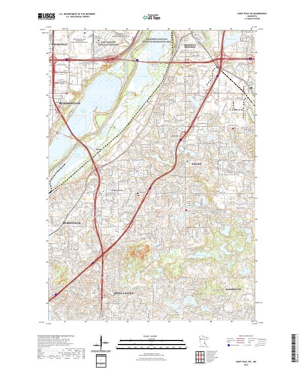
The Minnesota River valley serves as the central axis for this mid-century survey, dividing the developed flats of Bloomington from the expanding suburban landscapes of Eagan and Burnsville. To the north, massive public works dominate the terrain, including the sprawling Fort Snelling National Cemetery and the Minneapolis-St Paul International Airport, while the iconic Metropolitan Stadium stands as a landmark of the era's regional recreation.
Find a feature on this map
72 named features on this map. Tap any name to fly to it.
Don’t see what you’re looking for? This feature index may not catch every label — zoom into the map to look around manually.
Map Details
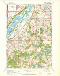
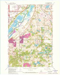
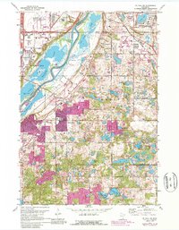
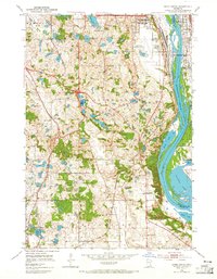
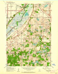
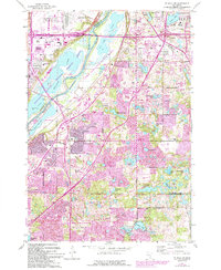
Editions of this 1967 St Paul SW Map
6 editions found
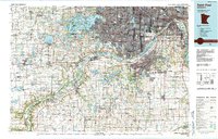
Historical Maps of Bloomington Through Time
21 maps found
1951 Inver Grove
Dakota County, MN
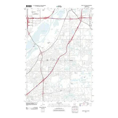
1951 St. Paul SW
Dakota County, MN
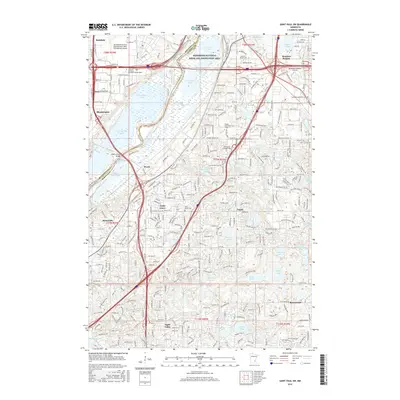
1967 Saint Paul SW
Dakota County, MN
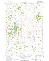
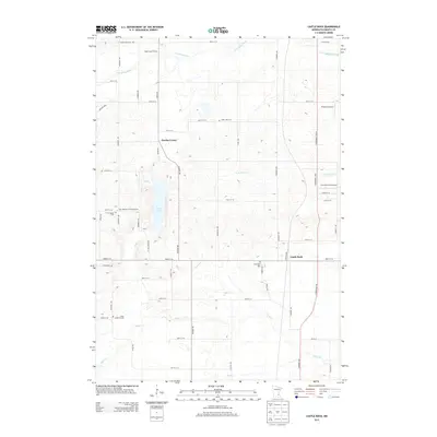
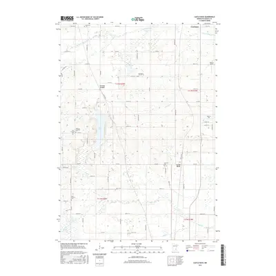
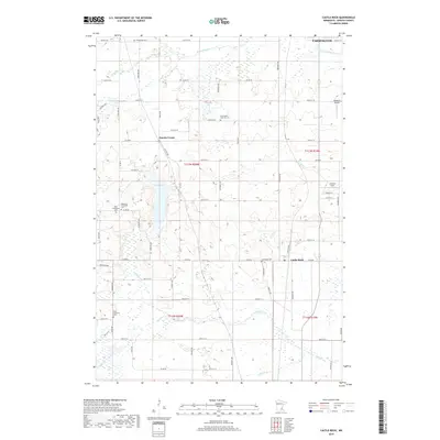
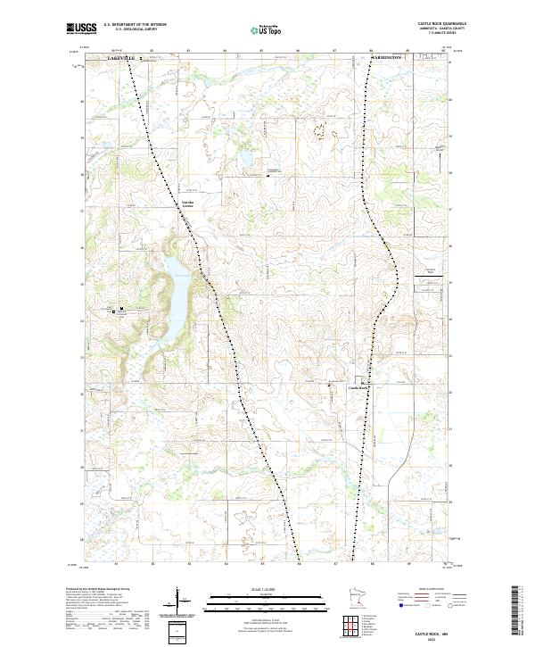
1974 Castle Rock
Dakota County, MN
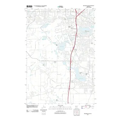
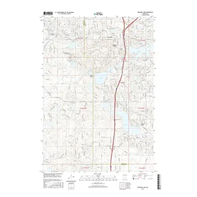
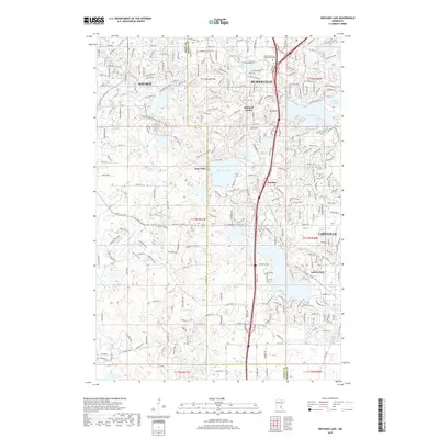
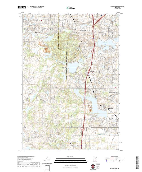
1974 Orchard Lake
Dakota County, MN
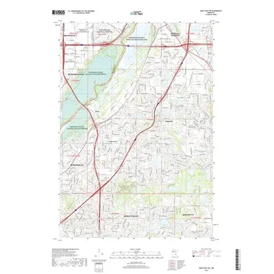
1985 Saint Paul
Dakota County, MN
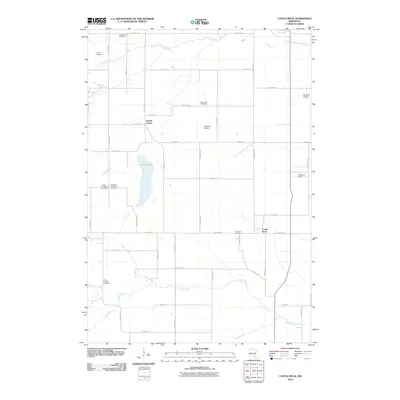
2010 Castle Rock
Dakota County, MN
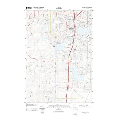
2010 Orchard Lake
Dakota County, MN
2010 Saint Paul SW
Dakota County, MN
2013 Castle Rock
Dakota County, MN
2013 Orchard Lake
Dakota County, MN
2013 Saint Paul SW
Dakota County, MN
2016 Castle Rock
Dakota County, MN
2016 Orchard Lake
Dakota County, MN
2016 Saint Paul SW
Dakota County, MN
2019 Castle Rock
Dakota County, MN
2019 Orchard Lake
Dakota County, MN
2019 Saint Paul SW
Dakota County, MN
2022 Castle Rock
Dakota County, MN
2022 Orchard Lake
Dakota County, MN
2022 Saint Paul SW
Dakota County, MN