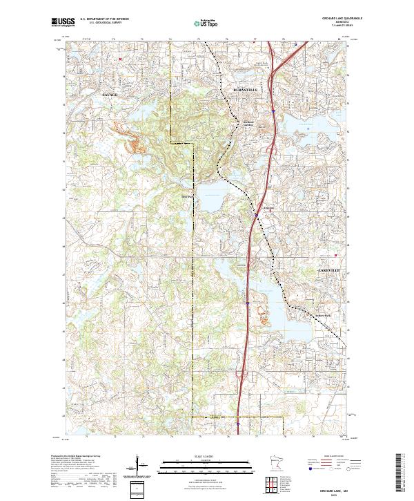
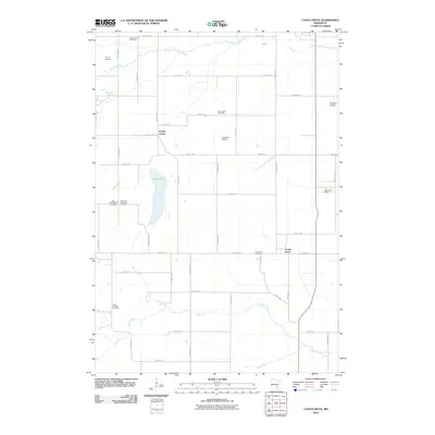
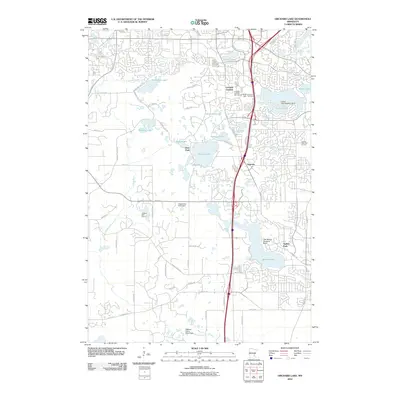
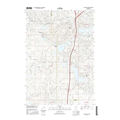
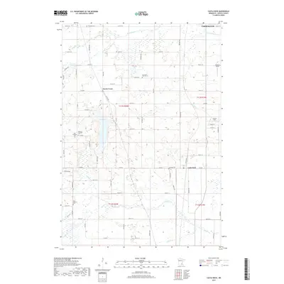
2022 Map of Orchard Lake
USGS Topo · Published 2022About this map
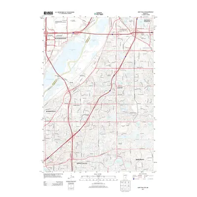
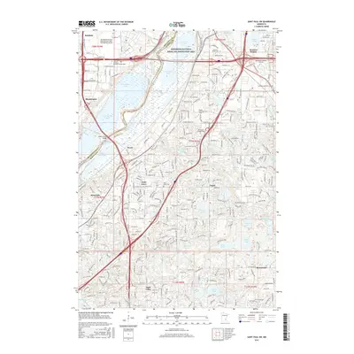
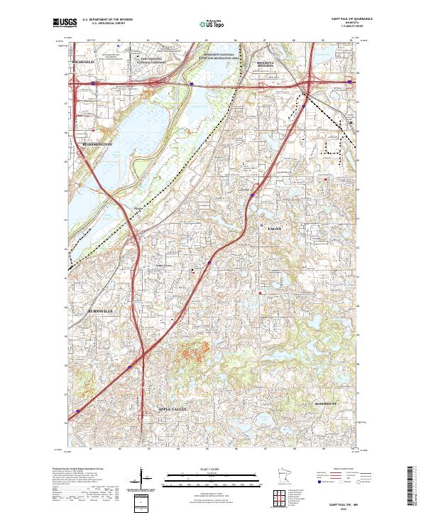
The suburban expansion south of the Twin Cities is documented here along the boundary of Scott Co and Dakota Co. Rapidly growing residential corridors and developed neighborhoods surround natural landmarks like Orchard Lake and Crystal Lake, illustrating the transition from rural townships into a dense network of communities including Savage, Burnsville, and Lakeville. The landscape is defined by the winding course of the Credit River and prominent elevations such as Buck Hill, which stand in contrast to the structured grid of streets like 150th St W and Dakota Ave. Local community hubs and recreational areas are well-represented, from the historic Antlers Park on Marion Lake to smaller settlements like Argonne and Orchard Garden, providing a modern spatial record of this populous Minnesota region.
Find a feature on this map
278 named features on this map. Tap any name to fly to it.
Don’t see what you’re looking for? This feature index may not catch every label — zoom into the map to look around manually.
Map Details
Editions of this 2022 Orchard Lake Map
This is the sole edition of this map. No revisions or reprints were ever made.
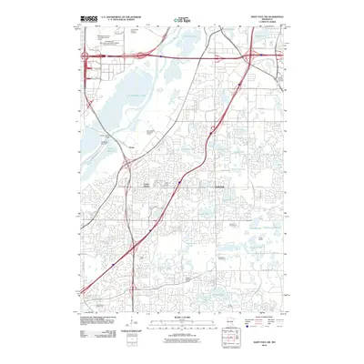
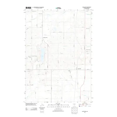
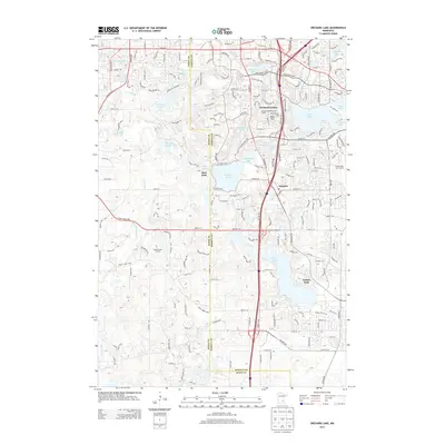
Historical Maps of Burnsville Through Time
21 maps found
1951 Inver Grove
Dakota County, MN
1951 St. Paul SW
Dakota County, MN
1967 Saint Paul SW
Dakota County, MN
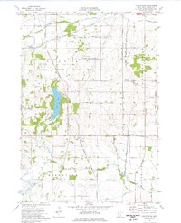
1974 Castle Rock
Dakota County, MN
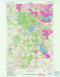
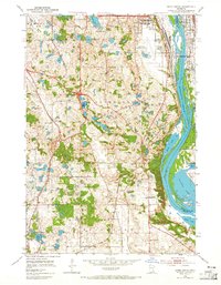
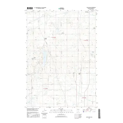
1974 Orchard Lake
Dakota County, MN
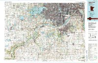
1985 Saint Paul
Dakota County, MN
2010 Castle Rock
Dakota County, MN
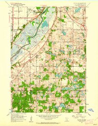
2010 Orchard Lake
Dakota County, MN
2010 Saint Paul SW
Dakota County, MN
2013 Castle Rock
Dakota County, MN
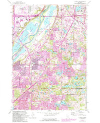
2013 Orchard Lake
Dakota County, MN
2013 Saint Paul SW
Dakota County, MN
2016 Castle Rock
Dakota County, MN
2016 Orchard Lake
Dakota County, MN
2016 Saint Paul SW
Dakota County, MN
2019 Castle Rock
Dakota County, MN
2019 Orchard Lake
Dakota County, MN
2019 Saint Paul SW
Dakota County, MN
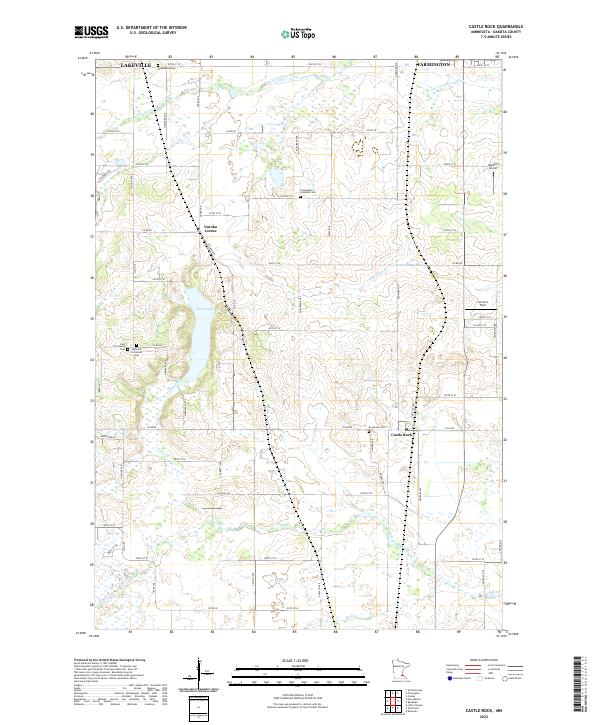
2022 Castle Rock
Dakota County, MN
2022 Orchard Lake
Dakota County, MN
2022 Saint Paul SW
Dakota County, MN