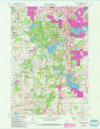
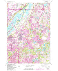
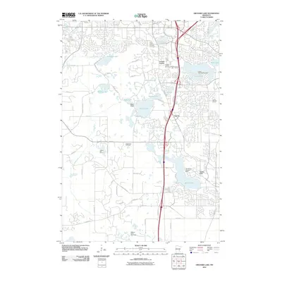
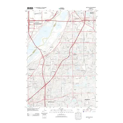
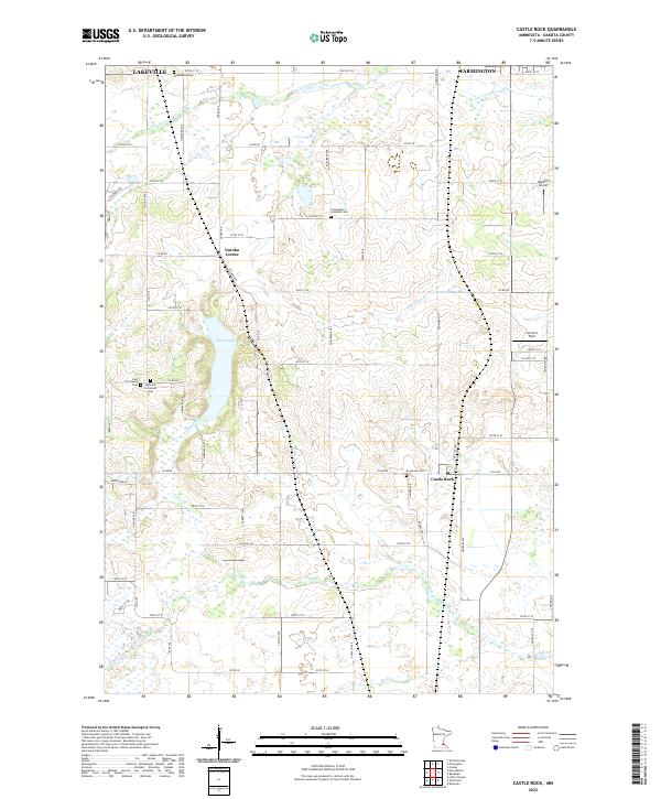
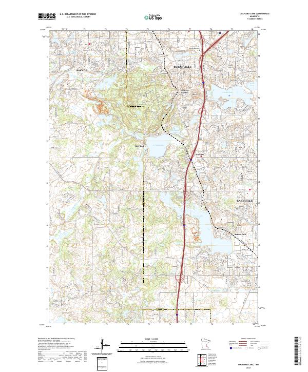
1974 Map of Orchard Lake
USGS Topo · Published 1993About this map
The Credit River meanders through the western portion of this Dakota County landscape, while a dense network of lakes and glacial depressions characterizes the eastern half. In the mid-1970s, suburban expansion from the north began pressing into rural areas, as evidenced by the residential clusters around Orchard Garden and the developing street grids near Crystal Lake and Keller Lake. The southern portion remains more open, defined by larger parcels of land and the extensive Ritter Farm Park.
Find a feature on this map
51 named features on this map. Tap any name to fly to it.
Don’t see what you’re looking for? This feature index may not catch every label — zoom into the map to look around manually.
Map Details
Editions of this 1974 Orchard Lake Map
2 editions found
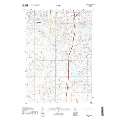
Historical Maps of Burnsville Through Time
21 maps found
1951 Inver Grove
Dakota County, MN
1951 St. Paul SW
Dakota County, MN
1967 Saint Paul SW
Dakota County, MN
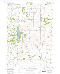
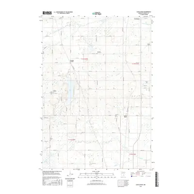
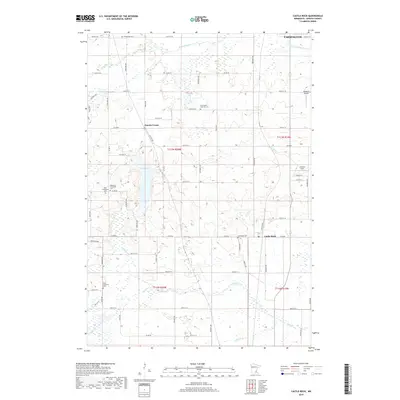
1974 Castle Rock
Dakota County, MN
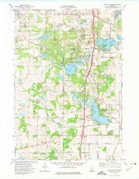
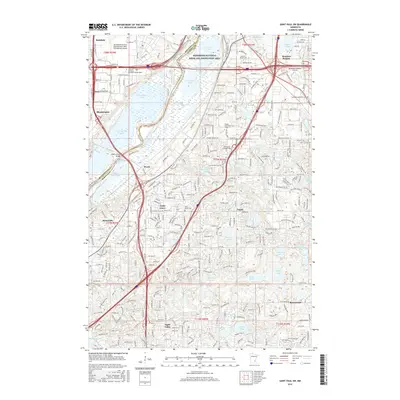
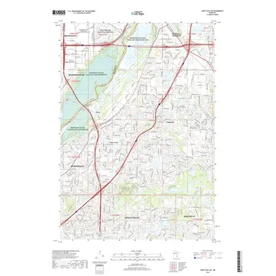
1974 Orchard Lake
Dakota County, MN
1985 Saint Paul
Dakota County, MN
2010 Castle Rock
Dakota County, MN
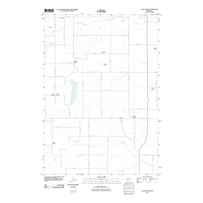
2010 Orchard Lake
Dakota County, MN
2010 Saint Paul SW
Dakota County, MN
2013 Castle Rock
Dakota County, MN
2013 Orchard Lake
Dakota County, MN
2013 Saint Paul SW
Dakota County, MN
2016 Castle Rock
Dakota County, MN
2016 Orchard Lake
Dakota County, MN
2016 Saint Paul SW
Dakota County, MN
2019 Castle Rock
Dakota County, MN
2019 Orchard Lake
Dakota County, MN
2019 Saint Paul SW
Dakota County, MN
2022 Castle Rock
Dakota County, MN
2022 Orchard Lake
Dakota County, MN
2022 Saint Paul SW
Dakota County, MN