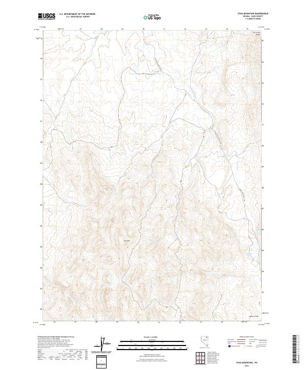
2021 Map of Stag Mountain
USGS Topo · Published 2021About this map
Stag Mtn serves as the central high point of this interior Elko County landscape, where several seasonal drainages radiate toward the lower elevations. The area is defined by its water sources, with Fletcher Spring and Union Spring providing critical points of interest in an otherwise arid terrain. To the southeast, the Mallard Hills rise above the confluence of local drainages, including Conners Cr and Hanks Cr.
Find a feature on this map
16 named features on this map. Tap any name to fly to it.
Don’t see what you’re looking for? This feature index may not catch every label — zoom into the map to look around manually.
Map Details
Editions of this 2021 Stag Mountain Map
This is the sole edition of this map. No revisions or reprints were ever made.
Other maps of this area

1935 · Charleston
USGS Topo · 1:48,000

1942 · Mt. Velma
USGS Topo · 1:62,500

1955 · Wells
USGS Topo · 1:250,000

1958 · Wells
USGS Topo · 1:250,000

1961 · Wells
USGS Topo · 1:250,000

1967 · Hanks Creek SW
USGS Topo · 1:24,000

1967 · Hot Springs Creek
USGS Topo · 1:24,000

1967 · Stag Mountain
USGS Topo · 1:24,000

1967 · Hanks Creek NE
USGS Topo · 1:24,000

1968 · Charleston Reservoir
USGS Topo · 1:24,000