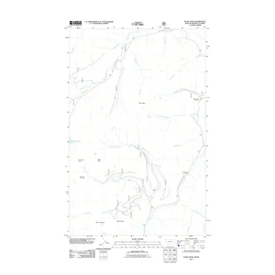
2011 Map of Stahl Peak
USGS Topo · Published 2011About this map
Stahl Peak and Mount Wam dominate this high-elevation landscape along the Montana and British Columbia border. The region is defined by a dense network of watercourses, with the Wigwam River and Grave Creek carving through the mountainous terrain. This 2011 survey highlights the specialized environmental monitoring infrastructure of the northern Rockies, specifically identifying the Stahl Peak Snow Gage, Weasel Divide Snow Gage, and Grave Creek Snow Gage. These points of interest, along with Big Therriault Lake, serve as critical markers for those studying the hydrology of the Whitefish Range. A complex system of Forest Service routes, including Natl Forest Develop Road 114 Rd, provides access to these summits and the numerous drainages like Clarence Creek and Stahl Creek that feed the river systems below.
Find a feature on this map
34 named features on this map. Tap any name to fly to it.
Don’t see what you’re looking for? This feature index may not catch every label — zoom into the map to look around manually.
Map Details
Editions of this 2011 Stahl Peak Map
This is the sole edition of this map. No revisions or reprints were ever made.
Other maps of this area

1913 · Stryker
USGS Topo · 1:125,000

1916 · Stryker
USGS Topo · 1:125,000

1957 · Kalispell
USGS Topo · 1:250,000

1960 · Kalispell
USGS Topo · 1:250,000

1961 · Kalispell
USGS Topo · 1:250,000

1963 · Mount Marston
USGS Topo · 1:24,000

1963 · Ksanka Peak
USGS Topo · 1:24,000

1963 · Stahl Peak
USGS Topo · 1:24,000
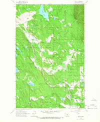
1963 · Fortine
USGS Topo · 1:24,000
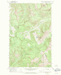
1966 · Mount Thompson-Seton
USGS Topo · 1:24,000