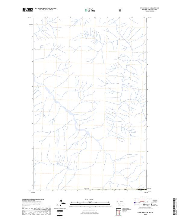
2024 Map of Stahl Peak OE N
USGS Topo · Published 2024About this map
Canada defines the northern boundary of this high-latitude Lincoln County study. The landscape is defined by an extensive and intricate drainage network, with numerous unnamed tributaries feeding into a primary valley that winds from the northwest toward the southeast. This 2024 data reveals a terrain dominated by hydrologic features, tracing the headwaters and seasonal streams that flow across the international border. Unlike maps of more developed regions, this survey focuses on the physical topography and the natural pathways of the watershed, providing a detailed record of the drainage patterns along the northern edge of Montana.
Find a feature on this map
1 named feature on this map. Tap any name to fly to it.
Don’t see what you’re looking for? This feature index may not catch every label — zoom into the map to look around manually.
Map Details
Editions of this 2024 Stahl Peak OE N Map
This is the sole edition of this map. No revisions or reprints were ever made.
Other maps of this area

1913 · Stryker
USGS Topo · 1:125,000

1916 · Stryker
USGS Topo · 1:125,000

1957 · Kalispell
USGS Topo · 1:250,000

1960 · Kalispell
USGS Topo · 1:250,000

1961 · Kalispell
USGS Topo · 1:250,000

1963 · Ksanka Peak
USGS Topo · 1:24,000

1963 · Stahl Peak
USGS Topo · 1:24,000
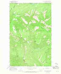
1966 · Tuchuck Mountain
USGS Topo · 1:24,000
1981 · Whitefish Range
USGS Topo · 1:100,000
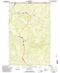
1994 · Tuchuck Mountain
USGS Topo · 1:24,000