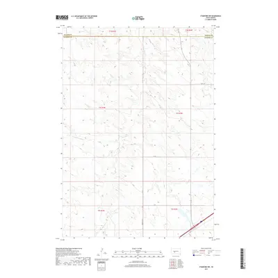
2017 Map of Stamford NW
USGS Topo · Published 2017About this map
The rolling plains of Jackson Co and Haakon Co converge in this 2017 study of the South Dakota landscape. The terrain is defined by the drainage basins of Ash Cr in the northeast and the extensive reach of Brave Bull Cr, which dominates the central and southern sections. Rural connectivity is represented by a network of county roads including Church Rd and Brave Bull Rd, while the southern edge is clipped by the transit corridor of Hwy 16. The land is meticulously subdivided into townships such as t1n r24e and t2s r25e, illustrating the persistent Rectangular Survey System that governs this agricultural and ranching region. Aside from these primary routes and waterways like the W Fork Brave Bull Cr, the map shows a sparse, open territory characteristic of the western South Dakota prairie.
Find a feature on this map
19 named features on this map. Tap any name to fly to it.
Don’t see what you’re looking for? This feature index may not catch every label — zoom into the map to look around manually.
Map Details
Editions of this 2017 Stamford NW Map
This is the sole edition of this map. No revisions or reprints were ever made.
Other maps of this area

1951 · Stamford SW
USGS Topo · 1:24,000

1951 · Belvidere
USGS Topo · 1:24,000

1951 · Stamford SE
USGS Topo · 1:24,000

1953 · Belvidere NE
USGS Topo · 1:24,000

1954 · Midland
USGS Topo · 1:24,000

1954 · Nowlin
USGS Topo · 1:24,000

1954 · Midland SE
USGS Topo · 1:24,000

1954 · Pierre
USGS Topo · 1:250,000

1955 · Martin
USGS Topo · 1:250,000

1958 · Pierre
USGS Topo · 1:250,000