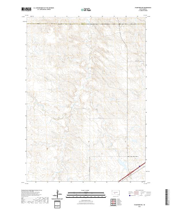
2021 Map of Stamford NW
USGS Topo · Published 2021About this map
Brave Bull Cr and its headwaters define the geography of this high plains landscape along the border of Haakon and Jackson counties. The terrain is characterized by a dense network of coulees and draws, where the W Fork Brave Bull Cr and Ash Cr converge to carve through the prairie. While the area remains largely undeveloped, the road network including Church Rd and Brave Bull Rd follows the high ridges, tracing the historical paths of travel between the remote ranch lands of western South Dakota. The drainage patterns shown here reflect the natural erosion cycles of the region, providing a clear view of the watershed as it existed in the early twenty-first century.
Find a feature on this map
6 named features on this map. Tap any name to fly to it.
Don’t see what you’re looking for? This feature index may not catch every label — zoom into the map to look around manually.
Map Details
Editions of this 2021 Stamford NW Map
This is the sole edition of this map. No revisions or reprints were ever made.
Other maps of this area

1951 · Stamford SW
USGS Topo · 1:24,000

1951 · Belvidere
USGS Topo · 1:24,000

1951 · Stamford SE
USGS Topo · 1:24,000

1953 · Belvidere NE
USGS Topo · 1:24,000

1954 · Midland
USGS Topo · 1:24,000

1954 · Nowlin
USGS Topo · 1:24,000

1954 · Midland SE
USGS Topo · 1:24,000

1954 · Pierre
USGS Topo · 1:250,000

1955 · Martin
USGS Topo · 1:250,000

1958 · Pierre
USGS Topo · 1:250,000