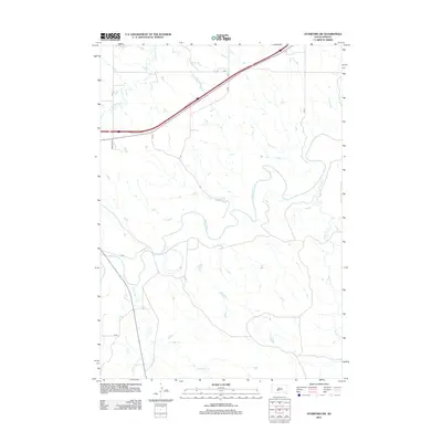
2012 Map of Stamford SW
USGS Topo · Published 2012About this map
The White River carves a complex, meandering path across this Mellette County landscape, defining the topography of the Stamford SW area in the early 21st century. This region is characterized by a dense network of watercourses and seasonal drainages, including the prominent southward flow of Black Pipe Cr and the eastern reach of Porcupine Cr. The map captures a moment in the local road development, documenting the paths of rural routes like Brave Bull Rd and several county systems including CS 7a and CS 8b. The intersection of drainage patterns and transportation corridors, such as where Brave Bull Cr crosses under the northern highway, illustrates the environmental factors that shape the local infrastructure in this part of South Dakota.
Find a feature on this map
13 named features on this map. Tap any name to fly to it.
Don’t see what you’re looking for? This feature index may not catch every label — zoom into the map to look around manually.
Map Details
Editions of this 2012 Stamford SW Map
This is the sole edition of this map. No revisions or reprints were ever made.
Other maps of this area

1951 · Stamford SW
USGS Topo · 1:24,000

1951 · Belvidere
USGS Topo · 1:24,000

1951 · Stamford SE
USGS Topo · 1:24,000

1951 · Cedar Butte NW
USGS Topo · 1:24,000

1951 · Cedar Butte NE
USGS Topo · 1:24,000

1951 · Pass Creek NE
USGS Topo · 1:24,000

1953 · Belvidere NE
USGS Topo · 1:24,000

1955 · Martin
USGS Topo · 1:250,000

1958 · Martin
USGS Topo · 1:250,000

1972 · Stamford NW
USGS Topo · 1:24,000