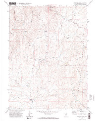
1970 Map of Stampede Ranch
USGS Topo · Published 1974About this map
Stampede Ranch serves as the focal point for this Elko County survey, situated where the valley floor meets the rising terrain of the Independence Mountains. The landscape is defined by a dense network of seasonal drainage and perennial flows, including Maggie Creek, Coon Creek, and Carlin Creek. These water sources were vital for the ranching operations and are accompanied by numerous unnamed Springs scattered throughout the canyons.
Find a feature on this map
22 named features on this map. Tap any name to fly to it.
Don’t see what you’re looking for? This feature index may not catch every label — zoom into the map to look around manually.
Map Details
Editions of this 1970 Stampede Ranch Map
2 editions found
Other maps of this area

1955 · McDermitt
USGS Topo · 1:250,000

1955 · Wells
USGS Topo · 1:250,000

1956 · Tuscarora
USGS Topo · 1:62,500

1958 · Wells
USGS Topo · 1:250,000

1958 · Singletree Creek
USGS Topo · 1:24,000

1958 · Blue Basin
USGS Topo · 1:24,000

1959 · McDermitt
USGS Topo · 1:250,000

1961 · Wells
USGS Topo · 1:250,000

1970 · Lake Mountain
USGS Topo · 1:24,000

1970 · Stampede Ranch
USGS Topo · 1:24,000