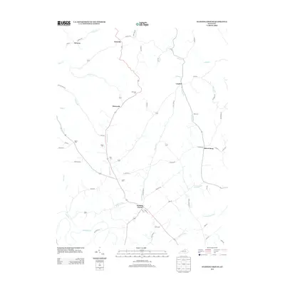
2013 Map of Stamping Ground
USGS Topo · Published 2013About this map
Stamping Ground serves as the primary hub in this central Kentucky landscape, where the road network converges near the banks of McConnell Run. The area is characterized by a series of small, scattered settlements including Suterville, Minorsville, and Skinnersburg, each connected by winding routes like Suterville Rd and Skinnersburg Rd. For genealogists, the map is particularly detailed, locating several family and community burial grounds such as Minorsville Cem, Robey Cem, and the Masonic Cem. The terrain is defined by a dense web of waterways, including Lecomptes Run and Lytles Fork, which carve through the countryside. This 2013 survey preserves the placement of localized landmarks like Head of Cedar and Harmony alongside more modern developments, providing a clear view of the rural-to-suburban transition in Scott County.
Find a feature on this map
63 named features on this map. Tap any name to fly to it.
Don’t see what you’re looking for? This feature index may not catch every label — zoom into the map to look around manually.
Map Details
Editions of this 2013 Stamping Ground Map
This is the sole edition of this map. No revisions or reprints were ever made.
Other maps of this area

1906 · Lockport
USGS Topo · 1:48,000

1906 · Georgetown
USGS Topo · 1:62,500

1908 · Lockport
USGS Topo · 1:62,500

1908 · Georgetown
USGS Topo · 1:62,500

1922 · Frankfort
USGS Topo · 1:48,000

1924 · Frankfort
USGS Topo · 1:62,500

1939 · Sadieville
USGS Topo · 1:62,500

1952 · Midway
USGS Topo · 1:24,000

1953 · Monterey
USGS Topo · 1:24,000

1953 · Sadieville
USGS Topo · 1:24,000