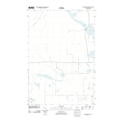
2010 Map of Stanberry East
USGS Topo · Published 2010About this map
Stanberry and its surrounding glacial terrain define this portion of Sawyer County in the early twenty-first century. The landscape is heavily shaped by water and man-made infrastructure, most notably at the Totagatic 2 WP 239 Dam which controls the waters of the Totagatic Flowage. These Northwoods wetlands and lakes, including Nelson Lake and Chippanazie Lake, are connected by a network of rural routes such as Chippanazie Rd and Hayward Rd.
Find a feature on this map
33 named features on this map. Tap any name to fly to it.
Don’t see what you’re looking for? This feature index may not catch every label — zoom into the map to look around manually.
Map Details
Editions of this 2010 Stanberry East Map
This is the sole edition of this map. No revisions or reprints were ever made.
Other maps of this area

1944 · Couderay
USGS Topo · 1:48,000

1944 · Hayward
USGS Topo · 1:48,000

1947 · Chittamo
USGS Topo · 1:48,000

1948 · Couderay
USGS Topo · 1:48,000

1948 · Stone Lake
USGS Topo · 1:48,000

1949 · Chittamo
USGS Topo · 1:48,000

1950 · Stone Lake
USGS Topo · 1:48,000

1953 · Ashland
USGS Topo · 1:250,000

1953 · Rice Lake
USGS Topo · 1:250,000

1958 · Ashland
USGS Topo · 1:250,000