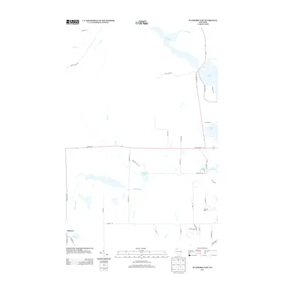
2013 Map of Stanberry East
USGS Topo · Published 2013About this map
Stanberry sits in the southwestern corner of this 2013 survey, an area defined by its dense network of glacial lakes and wetlands in northern Wisconsin. The landscape is dominated by large bodies of water such as Nelson Lake and Totagatic Flowage to the north, which contrast with the smaller Smith Lake and Little Round Lake further east. The drainage pattern is complex, with Chippanazie Cr winding through the center of the quadrangle, eventually connecting back toward Chippanazie Lake. Significant elevation is found at County Hill, providing a rare high point in an otherwise water-rich terrain. The road network, including State Road 77 and N State Road 27, traces the path of modern development through the woods, while more local routes like Chippanazie Lake Rd and Stanberry Rd provide access to the numerous shoreline properties and hunting grounds typical of the region.
Find a feature on this map
41 named features on this map. Tap any name to fly to it.
Don’t see what you’re looking for? This feature index may not catch every label — zoom into the map to look around manually.
Map Details
Editions of this 2013 Stanberry East Map
This is the sole edition of this map. No revisions or reprints were ever made.
Other maps of this area

1944 · Couderay
USGS Topo · 1:48,000

1944 · Hayward
USGS Topo · 1:48,000

1947 · Chittamo
USGS Topo · 1:48,000

1948 · Couderay
USGS Topo · 1:48,000

1948 · Stone Lake
USGS Topo · 1:48,000

1949 · Chittamo
USGS Topo · 1:48,000

1950 · Stone Lake
USGS Topo · 1:48,000

1953 · Ashland
USGS Topo · 1:250,000

1953 · Rice Lake
USGS Topo · 1:250,000

1958 · Ashland
USGS Topo · 1:250,000