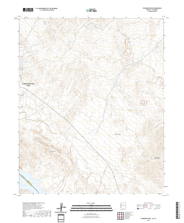
2021 Map of Standard Wash
USGS Topo · Published 2021About this map
Lake Havasu City anchors the northwestern corner of this study, where the edge of urban development meets the expansive Mojave Desert. The landscape is defined by an intricate network of desert drainages including Standard Wash, Mockingbird Wash, and Chesapeake Wash, which carve through the Aubrey Hills toward the shores of Lake Havasu. In the eastern section, the terrain rises toward the Bill Williams Mountains, reflecting the transition from the alluvial basin to higher desert peaks.
Find a feature on this map
30 named features on this map. Tap any name to fly to it.
Don’t see what you’re looking for? This feature index may not catch every label — zoom into the map to look around manually.
Map Details
Editions of this 2021 Standard Wash Map
This is the sole edition of this map. No revisions or reprints were ever made.
Other maps of this area

1903 · Needles
USGS Topo · 1:125,000

1904 · Needles Special
USGS Topo · 1:125,000

1911 · Parker
USGS Topo · 1:125,000

1927 · Buck Mountains
USGS Topo · 1:62,500

1929 · Buck Mountains
USGS Topo · 1:62,500

1943 · Giers Basin
USGS Topo · 1:62,500

1943 · Topock
USGS Topo · 1:62,500

1943 · Whipple Mts.
USGS Topo · 1:62,500

1950 · Parker Dam Area
USGS Topo · 1:62,500

1950 · Topock
USGS Topo · 1:62,500