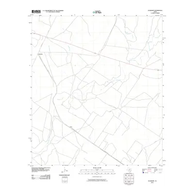
2010 Map of Standart
USGS Topo · Published 2010About this map
Standart and Pinto anchor this portion of Kinney County, Texas, where the landscape is defined by a dense network of intermittent drainages and ranch roads. The geography centers on the convergence of several significant watercourses, including the meandering Pinto Creek and Perdido Creek, which gather smaller tributaries like Little Perdido Creek and West Pinto Creek. This web of waterways suggests a terrain deeply influenced by seasonal flow and livestock grazing patterns.
Find a feature on this map
12 named features on this map. Tap any name to fly to it.
Don’t see what you’re looking for? This feature index may not catch every label — zoom into the map to look around manually.
Map Details
Editions of this 2010 Standart Map
This is the sole edition of this map. No revisions or reprints were ever made.
Other maps of this area

1896 · Brackett
USGS Topo · 1:125,000

1897 · Brackett
USGS Topo · 1:125,000

1941 · Standart
USGS Topo · 1:62,500

1941 · Tequesquite Creek
USGS Topo · 1:62,500

1943 · Standart
USGS Topo · 1:62,500

1944 · Tequesquite Creek
USGS Topo · 1:62,500

1944 · Spofford
USGS Topo · 1:62,500

1944 · Brackettville
USGS Topo · 1:62,500

1958 · Del Rio
USGS Topo · 1:250,000

1964 · Del Rio
USGS Topo · 1:250,000