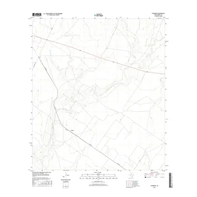
2016 Map of Standart
USGS Topo · Published 2016About this map
Pinto and the surrounding rangeland of Kinney County appear here in a landscape defined by seasonal watercourses and low-density ranching infrastructure. The arid terrain is bisected by a network of creeks that serve as primary geographic markers, including the winding Perdido Cr and its tributary, Little Perdido Cr, in the northwest. Near the center of the sheet, the reliable water source at Stricklin Spring provides a rare point of hydrological stability in a region otherwise dominated by ephemeral drainages like Pinto Cr and Cow Cr. Settlement is concentrated at Standart, positioned along a road network that includes Standart Rd and the more formal RM 693. This 2016 survey illustrates the modern configuration of long-standing Texas borderlands ranching tracts, where large parcels of land are accessed by named lanes such as Elf Ln and Standard Ln.
Find a feature on this map
15 named features on this map. Tap any name to fly to it.
Don’t see what you’re looking for? This feature index may not catch every label — zoom into the map to look around manually.
Map Details
Editions of this 2016 Standart Map
This is the sole edition of this map. No revisions or reprints were ever made.
Other maps of this area

1896 · Brackett
USGS Topo · 1:125,000

1897 · Brackett
USGS Topo · 1:125,000

1941 · Standart
USGS Topo · 1:62,500

1941 · Tequesquite Creek
USGS Topo · 1:62,500

1943 · Standart
USGS Topo · 1:62,500

1944 · Tequesquite Creek
USGS Topo · 1:62,500

1944 · Spofford
USGS Topo · 1:62,500

1944 · Brackettville
USGS Topo · 1:62,500

1958 · Del Rio
USGS Topo · 1:250,000

1964 · Del Rio
USGS Topo · 1:250,000