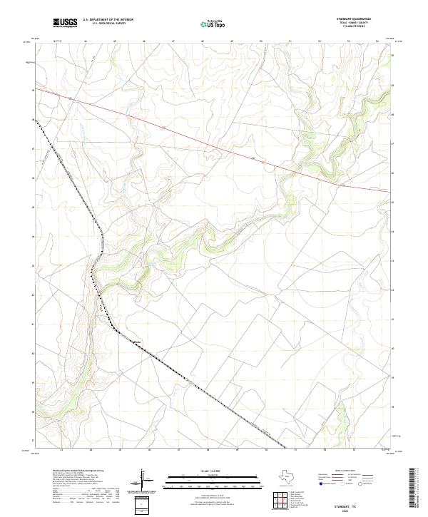
2022 Map of Standart
USGS Topo · Published 2022About this map
Pinto stands as a focal point in this portion of Kinney County, where the landscape is defined by an intricate network of ephemeral waterways. The geography is dominated by the winding paths of Pinto Cr and its tributaries, including W Pinto Cr and Perdido Cr. This arid ranching country is marked by seasonal drainages and a few vital water sources like Stricklin Spring, reflecting the essential relationship between water and habitation in Southwest Texas. Transportation routes such as Standart Rd and the prominent corridor of 90 cut across the drainage basins, connecting the scattered settlement points. The map details a transition from the higher elevations near Little Perdido Cr in the northwest toward the flatter reaches of Elm Cr in the southeast, illustrating the subtle but significant topography of the Edwards Plateau's edge.
Find a feature on this map
15 named features on this map. Tap any name to fly to it.
Don’t see what you’re looking for? This feature index may not catch every label — zoom into the map to look around manually.
Map Details
Editions of this 2022 Standart Map
This is the sole edition of this map. No revisions or reprints were ever made.
Other maps of this area

1896 · Brackett
USGS Topo · 1:125,000

1897 · Brackett
USGS Topo · 1:125,000

1941 · Standart
USGS Topo · 1:62,500

1941 · Tequesquite Creek
USGS Topo · 1:62,500

1943 · Standart
USGS Topo · 1:62,500

1944 · Tequesquite Creek
USGS Topo · 1:62,500

1944 · Spofford
USGS Topo · 1:62,500

1944 · Brackettville
USGS Topo · 1:62,500

1958 · Del Rio
USGS Topo · 1:250,000

1964 · Del Rio
USGS Topo · 1:250,000