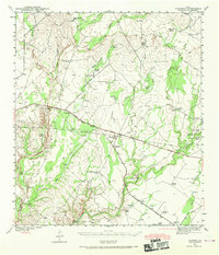
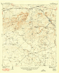
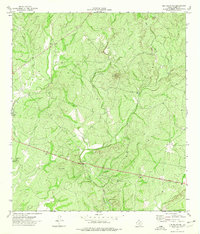
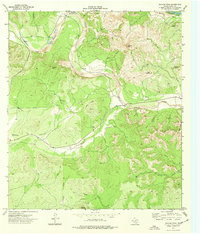
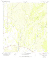
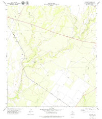
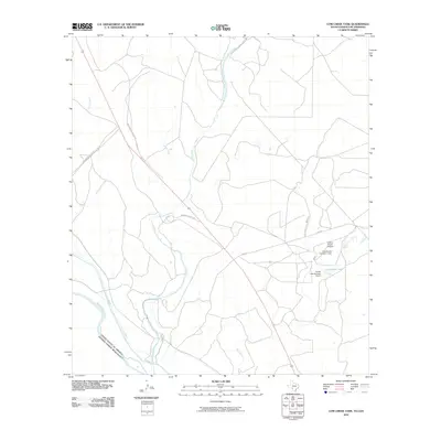
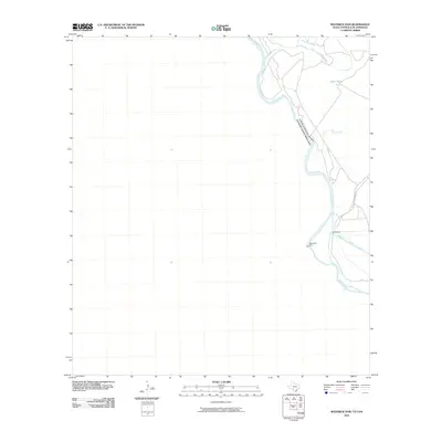
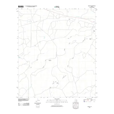
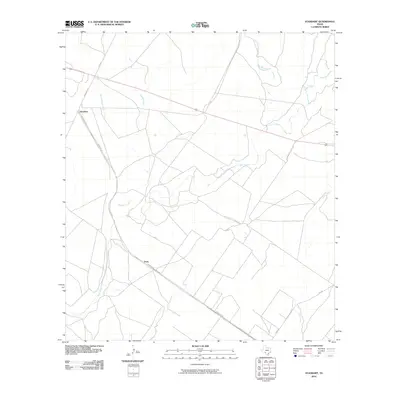
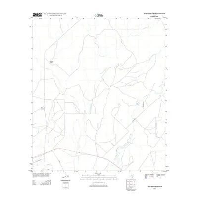
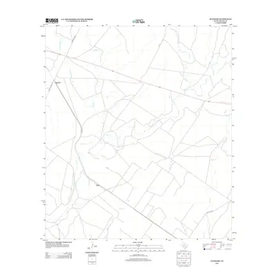
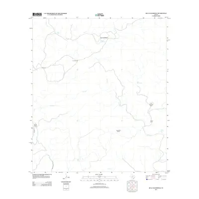
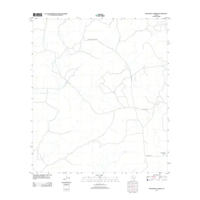
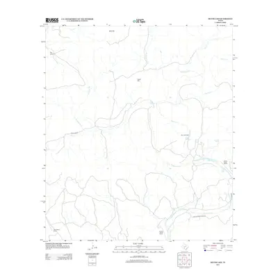
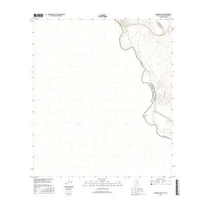
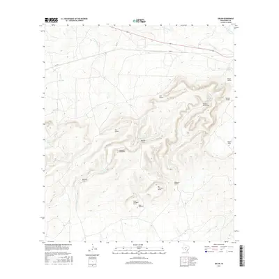
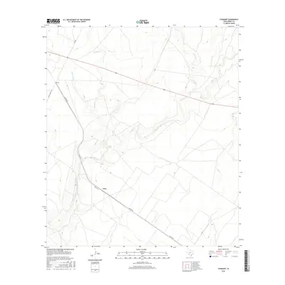
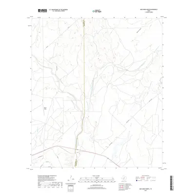
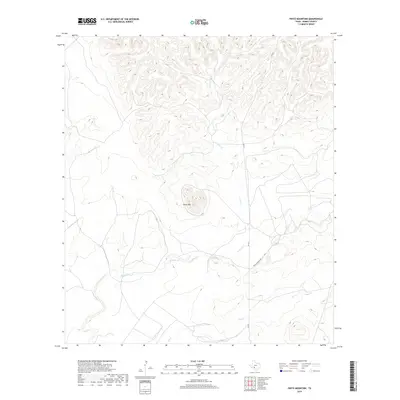
1941 Map of Standart
USGS Topo · Published 1969About this map
Standart and the surrounding rangeland of Kinney County appear here during the early 1940s, characterized by a sprawling network of family-operated livestock operations. The landscape is defined by the drainage basins of Sycamore Creek and Pinto Creek, where numerous isolated outposts like Wardlaw Bros Ranch and Whitehead-Wardlaw Ranch managed the arid terrain. Education in this rural stretch was centered at the Mud Creek Sch, located near the Briggs Ranch.
Find a feature on this map
39 named features on this map. Tap any name to fly to it.
Don’t see what you’re looking for? This feature index may not catch every label — zoom into the map to look around manually.
Map Details
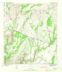
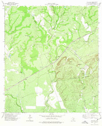
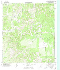
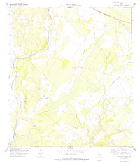
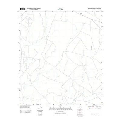
Editions of this 1941 Standart Map
2 editions found
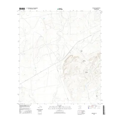
Historical Maps of Standart Through Time
120 maps found

1896 Brackett
Kinney County, TX
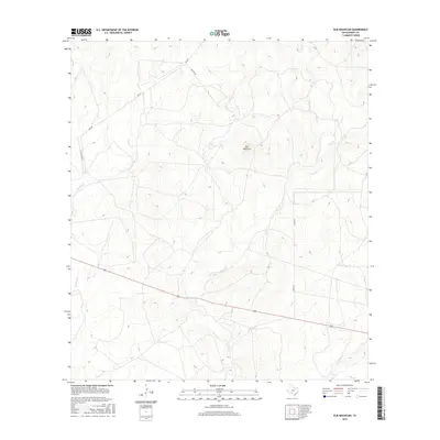
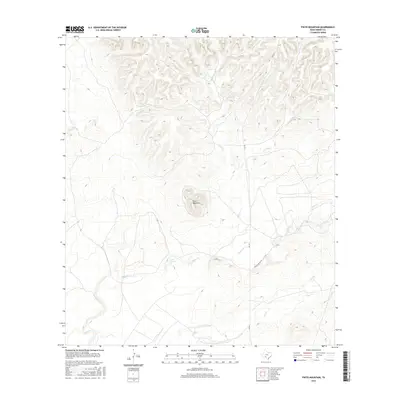
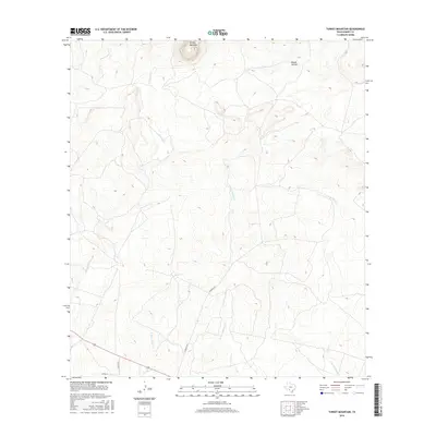
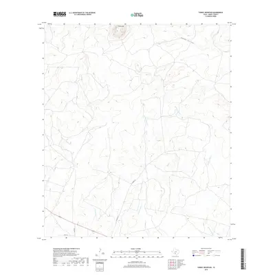
1938 Turkey Mountain
Kinney County, TX
1941 Standart
Kinney County, TX

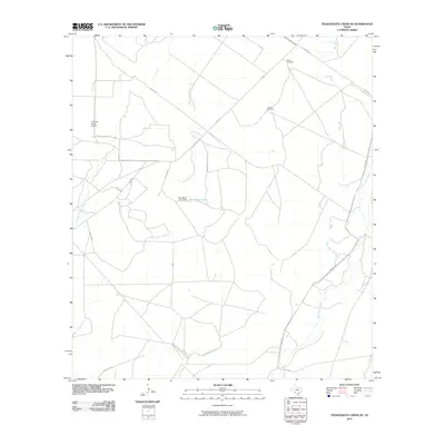
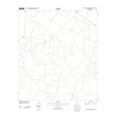
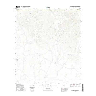
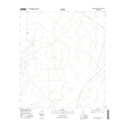
1941 Tequesquite Creek
Kinney County, TX

1943 Standart
Kinney County, TX
1943 Turkey Mountain
Kinney County, TX

1944 Sycamore Ranch
Kinney County, TX

1944 Tequesquite Creek
Kinney County, TX
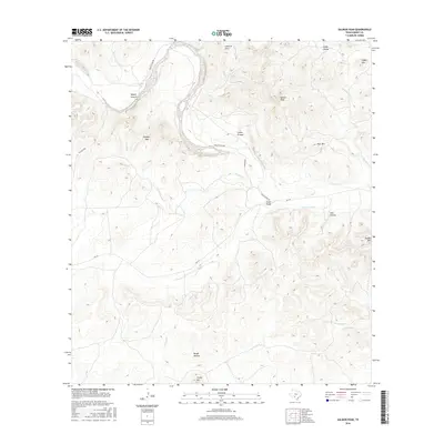
1949 Cline
Kinney County, TX
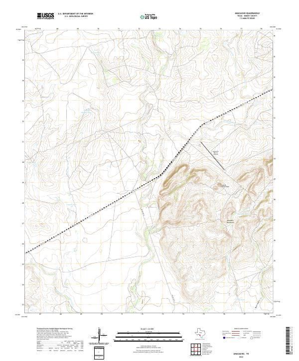
1974 Anacacho
Kinney County, TX
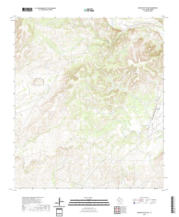
1974 Brackettville NE
Kinney County, TX
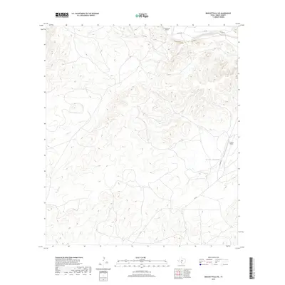
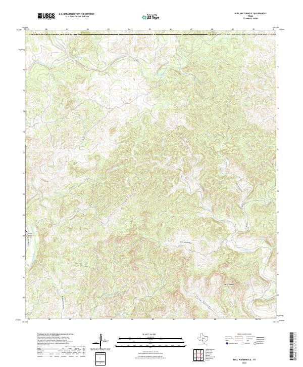
1974 Bull Waterhole
Kinney County, TX
1974 Elm Mountain
Kinney County, TX
1974 Kickapoo Caverns
Kinney County, TX
1974 Odlaw
Kinney County, TX
1974 Pinto Mountain
Kinney County, TX
1974 Salmon Peak
Kinney County, TX
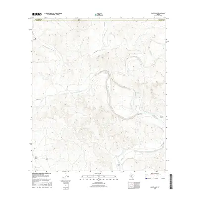
1974 Silver Lake
Kinney County, TX
1974 Turkey Mountain
Kinney County, TX
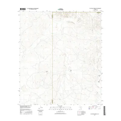
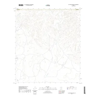
1978 Flat Rock Creek SW
Kinney County, TX
1978 Mud Creek North
Kinney County, TX
1978 Mud Creek South
Kinney County, TX
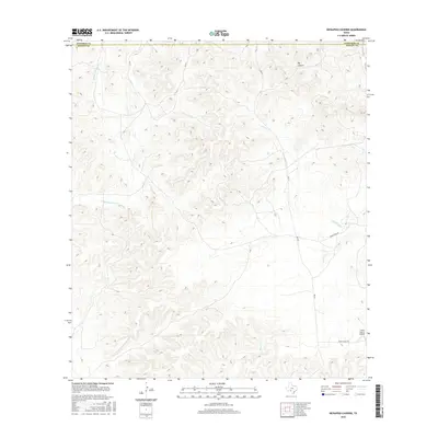
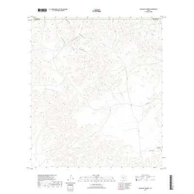
1978 Mud Springs
Kinney County, TX
1978 Tequesquite Creek NE
Kinney County, TX
1979 Standart
Kinney County, TX
2010 Anacacho
Kinney County, TX
2010 Brackettville NE
Kinney County, TX
2010 Bull Waterhole
Kinney County, TX
2010 Cow Creek Tank
Kinney County, TX

2010 Elm Mountain
Kinney County, TX
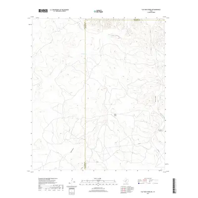
2010 Flat Rock Creek South
Kinney County, TX
2010 Flat Rock Creek SW
Kinney County, TX
2010 Kickapoo Caverns
Kinney County, TX
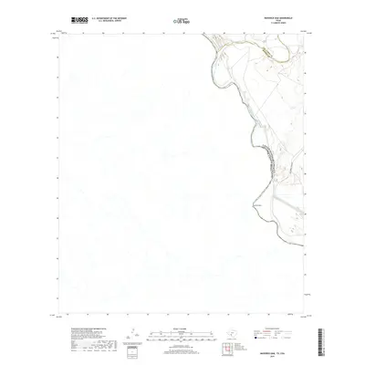
2010 Maverick Dam
Kinney County, TX
2010 Mud Creek North
Kinney County, TX
2010 Mud Creek South
Kinney County, TX
2010 Mud Springs
Kinney County, TX
2010 Odlaw
Kinney County, TX
2010 Pinto Mountain
Kinney County, TX
2010 Salmon Peak
Kinney County, TX
2010 Silver Lake
Kinney County, TX
2010 Standart
Kinney County, TX
2010 Tequesquite Creek NE
Kinney County, TX

2010 Turkey Mountain
Kinney County, TX
2012 Anacacho
Kinney County, TX
2012 Elm Mountain
Kinney County, TX
2012 Mud Creek North
Kinney County, TX
2012 Mud Creek South
Kinney County, TX
2012 Odlaw
Kinney County, TX
2012 Pinto Mountain
Kinney County, TX
2012 Standart
Kinney County, TX
2012 Tequesquite Creek NE
Kinney County, TX
2012 Turkey Mountain
Kinney County, TX
2013 Brackettville NE
Kinney County, TX
2013 Bull Waterhole
Kinney County, TX
2013 Cow Creek Tank
Kinney County, TX
2013 Flat Rock Creek South
Kinney County, TX
2013 Flat Rock Creek SW
Kinney County, TX
2013 Kickapoo Caverns
Kinney County, TX
2013 Maverick Dam
Kinney County, TX
2013 Mud Springs
Kinney County, TX
2013 Salmon Peak
Kinney County, TX
2013 Silver Lake
Kinney County, TX
2016 Anacacho
Kinney County, TX

2016 Brackettville NE
Kinney County, TX
2016 Bull Waterhole
Kinney County, TX
2016 Cow Creek Tank
Kinney County, TX
2016 Elm Mountain
Kinney County, TX
2016 Flat Rock Creek South
Kinney County, TX
2016 Flat Rock Creek SW
Kinney County, TX
2016 Kickapoo Caverns
Kinney County, TX
2016 Maverick Dam
Kinney County, TX
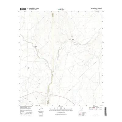
2016 Mud Creek North
Kinney County, TX
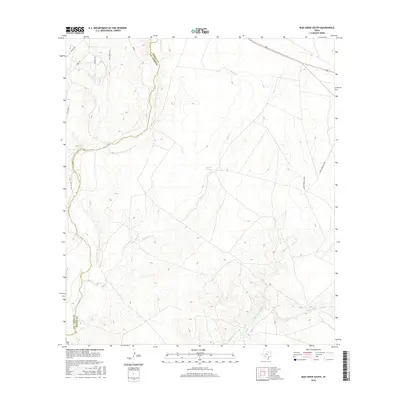
2016 Mud Creek South
Kinney County, TX
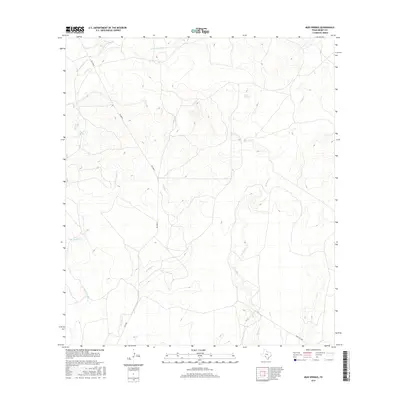
2016 Mud Springs
Kinney County, TX
2016 Odlaw
Kinney County, TX
2016 Pinto Mountain
Kinney County, TX
2016 Salmon Peak
Kinney County, TX
2016 Silver Lake
Kinney County, TX
2016 Standart
Kinney County, TX
2016 Tequesquite Creek NE
Kinney County, TX
2016 Turkey Mountain
Kinney County, TX
2019 Anacacho
Kinney County, TX
2019 Brackettville NE
Kinney County, TX
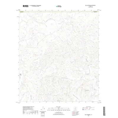
2019 Bull Waterhole
Kinney County, TX
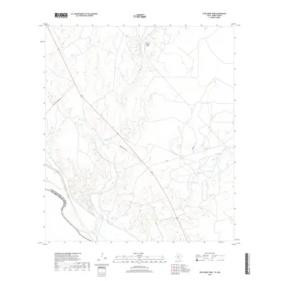
2019 Cow Creek Tank
Kinney County, TX
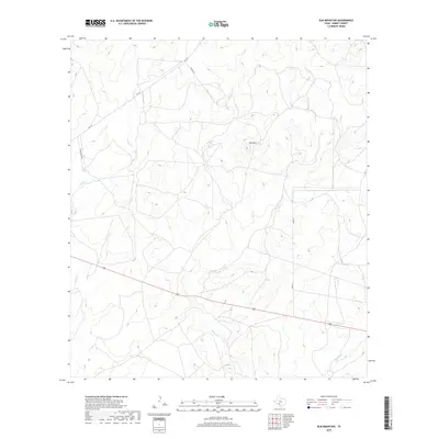
2019 Elm Mountain
Kinney County, TX
2019 Flat Rock Creek South
Kinney County, TX
2019 Flat Rock Creek SW
Kinney County, TX
2019 Kickapoo Caverns
Kinney County, TX
2019 Maverick Dam
Kinney County, TX
2019 Mud Creek North
Kinney County, TX
2019 Mud Creek South
Kinney County, TX
2019 Mud Springs
Kinney County, TX
2019 Odlaw
Kinney County, TX
2019 Pinto Mountain
Kinney County, TX
2019 Salmon Peak
Kinney County, TX
2019 Silver Lake
Kinney County, TX

2019 Standart
Kinney County, TX
2019 Tequesquite Creek NE
Kinney County, TX
2019 Turkey Mountain
Kinney County, TX
2022 Anacacho
Kinney County, TX
2022 Brackettville NE
Kinney County, TX
2022 Bull Waterhole
Kinney County, TX
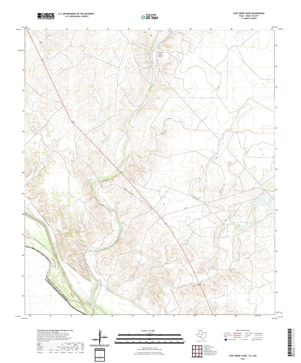
2022 Cow Creek Tank
Kinney County, TX
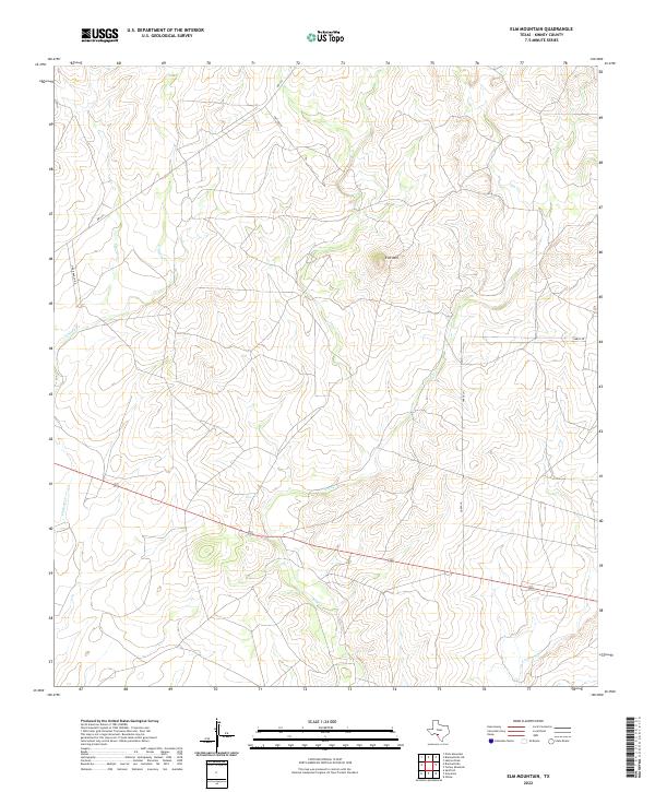
2022 Elm Mountain
Kinney County, TX
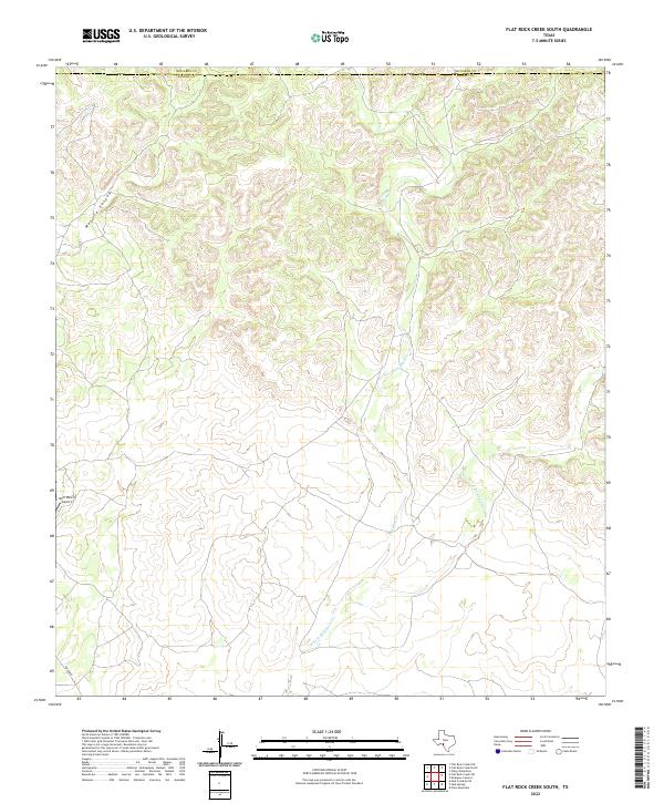
2022 Flat Rock Creek South
Kinney County, TX
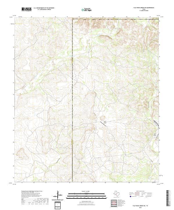
2022 Flat Rock Creek SW
Kinney County, TX
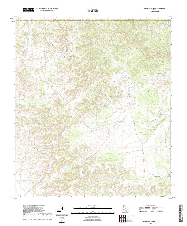
2022 Kickapoo Caverns
Kinney County, TX
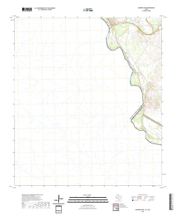
2022 Maverick Dam
Kinney County, TX
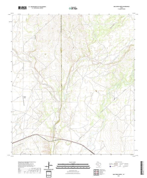
2022 Mud Creek North
Kinney County, TX
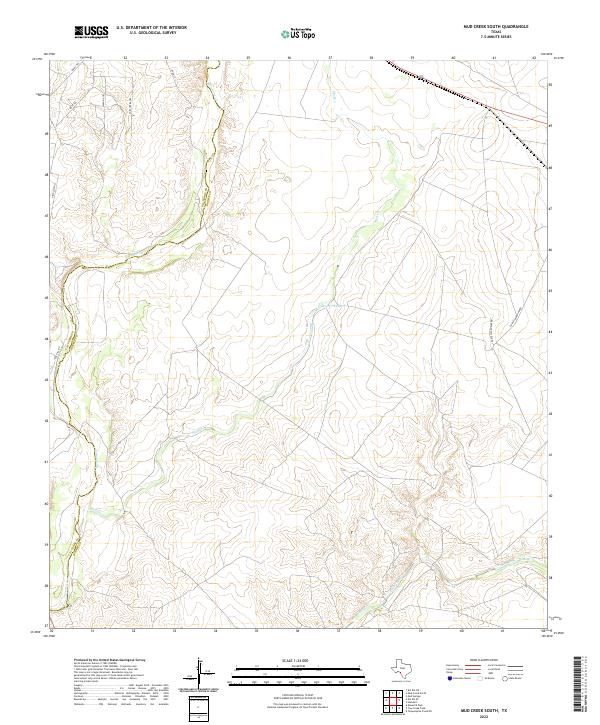
2022 Mud Creek South
Kinney County, TX
2022 Mud Springs
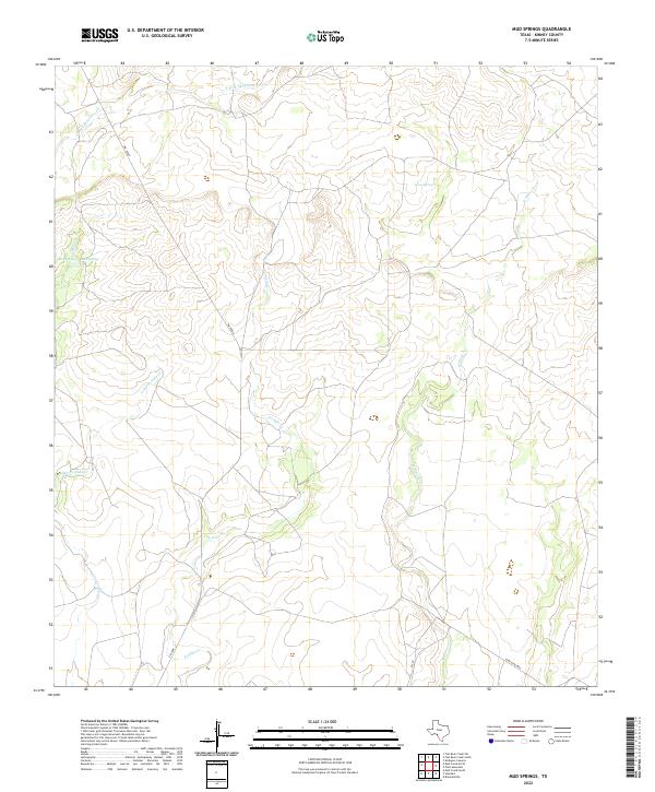
Kinney County, TX
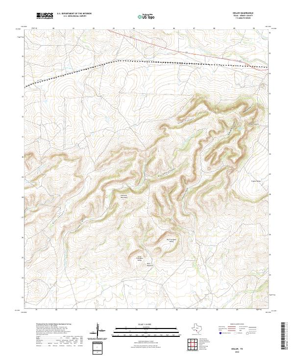
2022 Odlaw
Kinney County, TX
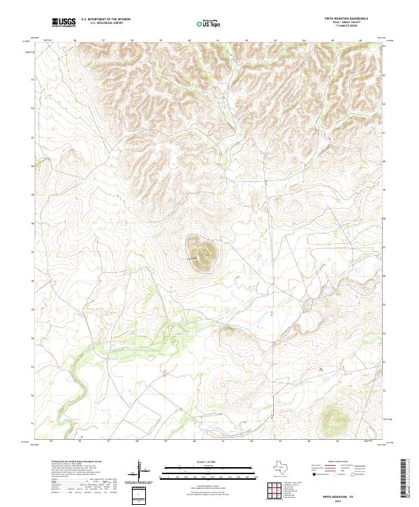
2022 Pinto Mountain
Kinney County, TX
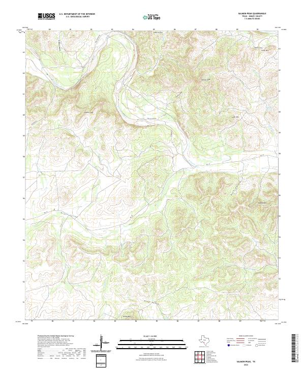
2022 Salmon Peak
Kinney County, TX
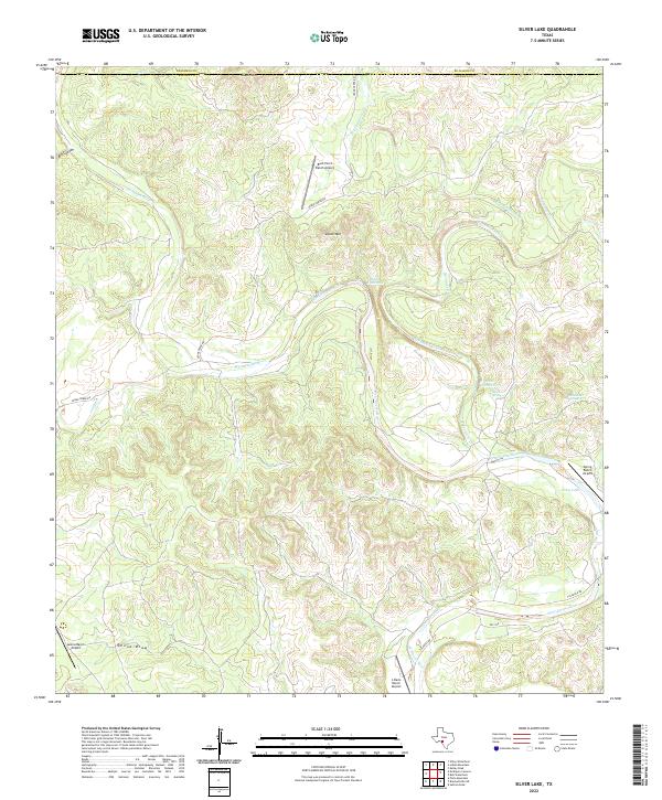
2022 Silver Lake
Kinney County, TX
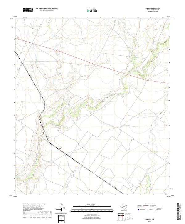
2022 Standart
Kinney County, TX
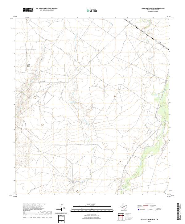
2022 Tequesquite Creek NE
Kinney County, TX
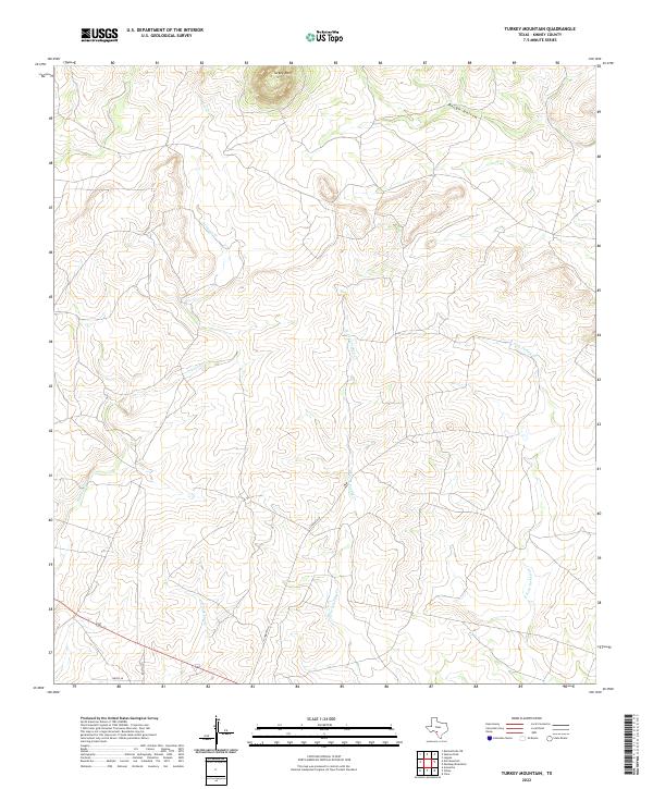
2022 Turkey Mountain
Kinney County, TX