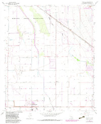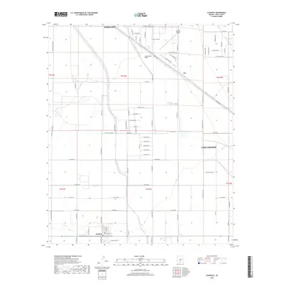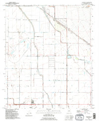
1992 Map of Stanfield
USGS Topo · Published 1995About this map
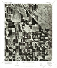
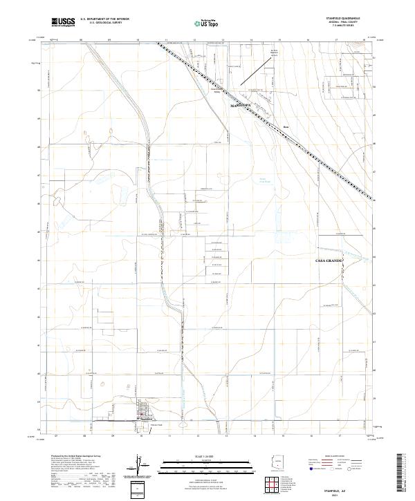
Stanfield serves as the primary hub for this Pinal County landscape, anchored by the Stanfield Sch and a central Community Center. The town's grid is surrounded by a complex network of irrigation-related features, including numerous siphons, wells, and levees that manage the seasonal flows of the Santa Cruz Wash and Santa Rosa Wash. This 1990s-era study documents an environment defined by water management and transit, where the Maricopa Casa Grande Highway and the Southern Pacific railroad route parallel the northern desert washes.
Find a feature on this map
26 named features on this map. Tap any name to fly to it.
Don’t see what you’re looking for? This feature index may not catch every label — zoom into the map to look around manually.
Map Details
Editions of this 1992 Stanfield Map
This is the sole edition of this map. No revisions or reprints were ever made.
Historical Maps of Maricopa Through Time
7 maps found