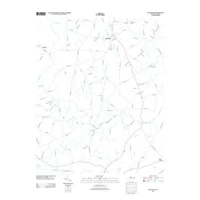
2013 Map of Stanfield
USGS Topo · Published 2013About this map
Rocky River winds through this Piedmont landscape, serving as a primary geographic anchor for the rural communities of Stanfield and Midland. The map reveals a legacy of river-based commerce and travel, evidenced by the presence of Old Ferry Rd and family-linked transit points like Sikes Mill Rd and Garmon Mill Rd. These names suggest a historical reliance on water power and ferry crossings before modern bridges dominated the region.
Find a feature on this map
113 named features on this map. Tap any name to fly to it.
Don’t see what you’re looking for? This feature index may not catch every label — zoom into the map to look around manually.
Map Details
Editions of this 2013 Stanfield Map
This is the sole edition of this map. No revisions or reprints were ever made.
Other maps of this area

1941 · Charlotte
USGS Topo · 1:125,000

1942 · Charlotte
USGS Topo · 1:125,000

1949 · Midland
USGS Topo · 1:24,000

1949 · Concord SE
USGS Topo · 1:24,000

1953 · Charlotte
USGS Topo · 1:250,000

1954 · Charlotte
USGS Topo · 1:250,000

1957 · Mount Pleasant
USGS Topo · 1:62,500

1960 · Charlotte
USGS Topo · 1:250,000

1962 · Charlotte
USGS Topo · 1:250,000
1969 · Concord SE
USGS Topo · 1:24,000