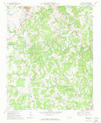
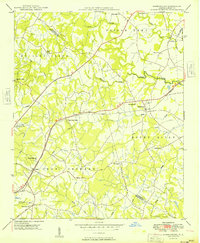
1969 Map of Concord SE
USGS Topo · Published 1972About this map
Rocky River carves a winding path through this corner of Cabarrus County, defining the rural landscape between the growth of Jackson Park and the outlying agrarian communities. This 1969 field-checked survey highlights a period of educational and religious consolidation, documented by numerous country landmarks such as Central Cabarrus High Sch and the Jackson Training Sch Ch. The map reveals a community structured around small hubs like Flows Store and the historic location of Pioneer Mills in the south, while the northern reaches show industrial activity near the Southern railroad line with several Gravel Pits.
Find a feature on this map
35 named features on this map. Tap any name to fly to it.
Don’t see what you’re looking for? This feature index may not catch every label — zoom into the map to look around manually.
Map Details
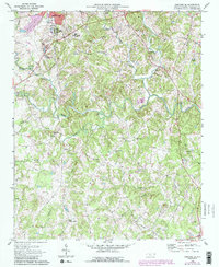
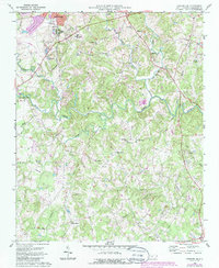
Editions of this 1969 Concord SE Map
3 editions found
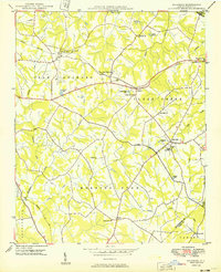
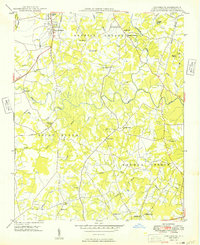
Other maps of this area

1941 · Charlotte
USGS Topo · 1:125,000

1942 · Charlotte
USGS Topo · 1:125,000
1949 · Kannapolis
USGS Topo · 1:24,000
1949 · Harrisburg
USGS Topo · 1:24,000
1949 · Wilgrove
USGS Topo · 1:24,000

1949 · Midland
USGS Topo · 1:24,000
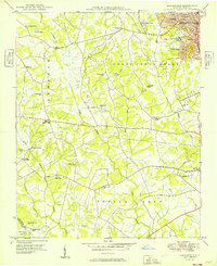
1949 · Concord SE
USGS Topo · 1:24,000
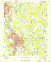
1950 · Concord
USGS Topo · 1:24,000

1953 · Charlotte
USGS Topo · 1:250,000

1954 · Charlotte
USGS Topo · 1:250,000