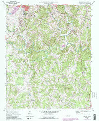
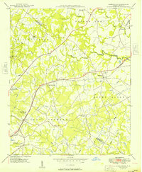
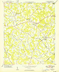
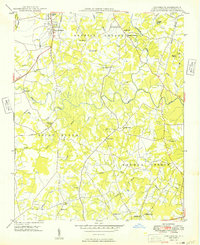
1969 Map of Concord SE
USGS Topo · Published 1987About this map
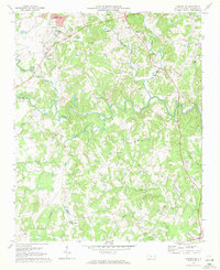
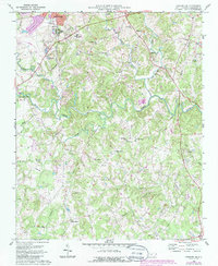
Jackson Park and the extensive grounds of the Jackson Training Sch anchor the northwestern corner of this landscape, where the Southern railroad corridor cuts through the upper reaches of Wolf Meadow. This 1960s survey, with later revisions, shows a rural Piedmont environment transitioning toward suburban density, particularly around Central Cabarrus High Sch. The area is defined by a dense network of small waterways, including Coddle Creek, Irish Buffalo Creek, and the Rocky River, which winds across the center of the map.
Find a feature on this map
37 named features on this map. Tap any name to fly to it.
Don’t see what you’re looking for? This feature index may not catch every label — zoom into the map to look around manually.
Map Details
Editions of this 1969 Concord SE Map
3 editions found
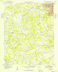
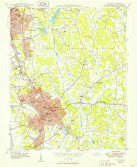
Other maps of this area

1941 · Charlotte
USGS Topo · 1:125,000

1942 · Charlotte
USGS Topo · 1:125,000
1949 · Kannapolis
USGS Topo · 1:24,000
1949 · Harrisburg
USGS Topo · 1:24,000
1949 · Wilgrove
USGS Topo · 1:24,000

1949 · Midland
USGS Topo · 1:24,000
1949 · Concord SE
USGS Topo · 1:24,000
1950 · Concord
USGS Topo · 1:24,000

1953 · Charlotte
USGS Topo · 1:250,000

1954 · Charlotte
USGS Topo · 1:250,000