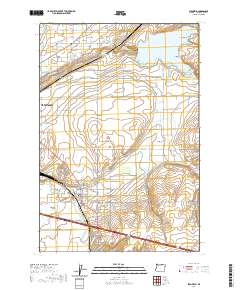
2020 Map of Stanfield
USGS Topo · Published 2020About this map
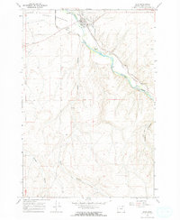
The Umatilla River valley serves as the central artery for this portion of Umatilla County, where the development of Stanfield and south Hermiston is defined by a complex network of irrigation infrastructure. This landscape is crisscrossed by essential water works including the Maxwell Canal, Hermiston Ditch, and the Stanfield Br Furnish Ditch, which support the agricultural vitality of the region. To the north, the massive Cold Springs Reservoir dominates the terrain, surrounded by features like Cold Springs Canyon and Despain Gulch. Local history and genealogy interests are anchored by several established burial sites, including Pleasant View Cem near the town center and Foster Cem located just south of the river. The map also captures the settlement at Umatilla Meadows, illustrating the transition from the irrigated valley floor to the higher elevations of Fourmile Gap and Stage Gulch.
Find a feature on this map
71 named features on this map. Tap any name to fly to it.
Don’t see what you’re looking for? This feature index may not catch every label — zoom into the map to look around manually.
Map Details
Editions of this 2020 Stanfield Map
This is the sole edition of this map. No revisions or reprints were ever made.
Other maps of this area
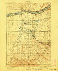
1908 · Umatilla
USGS Topo · 1:125,000

1953 · Pendleton
USGS Topo · 1:250,000

1956 · Pendleton
USGS Topo · 1:250,000
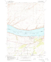
1962 · Hat Rock
USGS Topo · 1:24,000
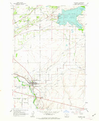
1962 · Stanfield
USGS Topo · 1:24,000
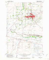
1962 · Hermiston
USGS Topo · 1:24,000
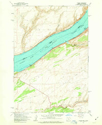
1962 · Juniper
USGS Topo · 1:24,000
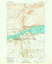
1962 · Umatilla
USGS Topo · 1:24,000
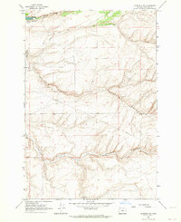
1962 · Stanfield SE
USGS Topo · 1:24,000
1968 · Echo
USGS Topo · 1:24,000