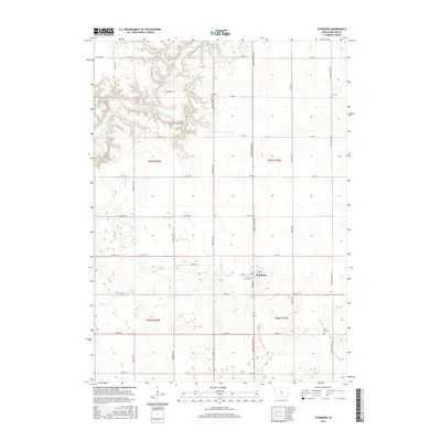
2015 Map of Stanhope
USGS Topo · Published 2015About this map
Stanhope serves as the central hub of this Hamilton County landscape, situated at the intersection of Main St and Parker St amidst a meticulously surveyed grid of township roads. The terrain is defined by the winding course of the Boone River in the northwest, which cuts through more varied topography compared to the flat agricultural expanses found elsewhere. Significant for local family historians, the sheet identifies several resting places including Saratoga Cem near the river bluffs, Zion Cem to the east, and Lawn Hill Cem in the southeast corner.
Find a feature on this map
38 named features on this map. Tap any name to fly to it.
Don’t see what you’re looking for? This feature index may not catch every label — zoom into the map to look around manually.
Map Details
Editions of this 2015 Stanhope Map
This is the sole edition of this map. No revisions or reprints were ever made.
Other maps of this area

1912 · Ames
USGS Topo · 1:62,500

1914 · Ames
USGS Topo · 1:62,500

1916 · Boone
USGS Topo · 1:62,500

1954 · Waterloo
USGS Topo · 1:250,000

1955 · Waterloo
USGS Topo · 1:250,000

1965 · Mackey
USGS Topo · 1:24,000

1965 · Fraser
USGS Topo · 1:24,000

1975 · Ames NW
USGS Topo · 1:24,000

1978 · Blairsburg
USGS Topo · 1:24,000

1978 · Webster City
USGS Topo · 1:24,000