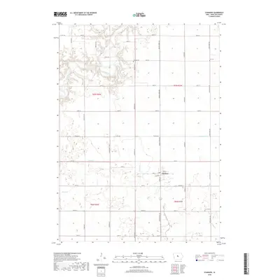
2018 Map of Stanhope
USGS Topo · Published 2018About this map
Stanhope serves as the central hub of this Hamilton County landscape, situated at the intersection of several key local thoroughfares. The town's grid is clearly defined by streets like Main St and Railway St, reflecting the importance of historical transportation corridors. North of town, the Boone River meanders through a more varied topography, providing a distinct contrast to the rectilinear agricultural plots that dominate the surrounding area.
Find a feature on this map
38 named features on this map. Tap any name to fly to it.
Don’t see what you’re looking for? This feature index may not catch every label — zoom into the map to look around manually.
Map Details
Editions of this 2018 Stanhope Map
This is the sole edition of this map. No revisions or reprints were ever made.
Other maps of this area

1912 · Ames
USGS Topo · 1:62,500

1914 · Ames
USGS Topo · 1:62,500

1916 · Boone
USGS Topo · 1:62,500

1954 · Waterloo
USGS Topo · 1:250,000

1955 · Waterloo
USGS Topo · 1:250,000

1965 · Mackey
USGS Topo · 1:24,000

1965 · Fraser
USGS Topo · 1:24,000

1975 · Ames NW
USGS Topo · 1:24,000

1978 · Blairsburg
USGS Topo · 1:24,000

1978 · Webster City
USGS Topo · 1:24,000