
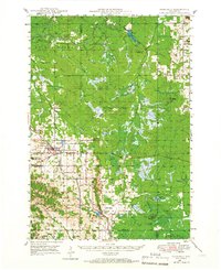
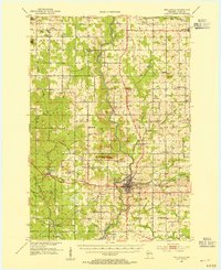
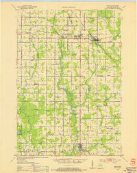
1952 Map of Stanley
USGS Topo · Published 1954About this map
The dairy-farming landscape of central Wisconsin is defined by a dense grid of country schoolhouses and parish churches in the early 1950s. The Minneapolis St Paul and Sault Ste Marie railroad corridor anchors the northern tier, connecting the hubs of Stanley and Thorp. Between these towns, small rural communities like Eidsvold and Worden support a network of local landmarks, including the Worden Ch and Edson Ch.
Find a feature on this map
99 named features on this map. Tap any name to fly to it.
Don’t see what you’re looking for? This feature index may not catch every label — zoom into the map to look around manually.
Map Details
Editions of this 1952 Stanley Map
This is the sole edition of this map. No revisions or reprints were ever made.
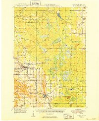
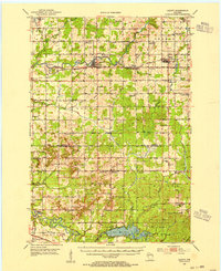
Other maps of this area

1935 · Osseo
USGS Topo · 1:48,000

1940 · Osseo
USGS Topo · 1:62,500
1948 · Fairchild
USGS Topo · 1:62,500
1949 · Fairchild
USGS Topo · 1:62,500
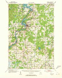
1951 · Cornell
USGS Topo · 1:62,500

1951 · Lublin
USGS Topo · 1:48,000

1951 · Gilman
USGS Topo · 1:62,500
1952 · Cadott
USGS Topo · 1:62,500
1953 · Neillsville
USGS Topo · 1:62,500
1953 · Owen
USGS Topo · 1:48,000