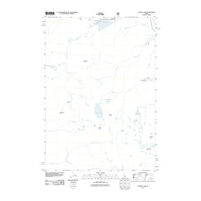
2011 Map of Stanley Lake
USGS Topo · Published 2011About this map
Stanley Lake and its surrounding high-altitude drainage systems dominate this Boise County landscape. The area is characterized by a dense concentration of glacial lakes and dramatic vertical relief, with notable summits such as Mount Regan, Thompson Peak, and McGown Peak rising above the watershed. The map records the intersection of outdoor recreation and historical resource extraction, evidenced by the clustered Stanley Lake Campground, Lake View Campground, and Inlet Campground near the water's edge, contrasted with the Greenback Mine located further south along Stanley Lake Creek.
Find a feature on this map
30 named features on this map. Tap any name to fly to it.
Don’t see what you’re looking for? This feature index may not catch every label — zoom into the map to look around manually.
Map Details
Editions of this 2011 Stanley Lake Map
This is the sole edition of this map. No revisions or reprints were ever made.
Other maps of this area

1891 · Bear Valley
USGS Topo · 1:125,000

1893 · Bear Valley
USGS Topo · 1:125,000

1919 · Custer
USGS Topo · 1:125,000

1922 · Custer
USGS Topo · 1:125,000

1957 · Challis
USGS Topo · 1:250,000

1960 · Challis
USGS Topo · 1:250,000

1963 · Challis
USGS Topo · 1:250,000

1963 · Mt Cramer
USGS Topo · 1:24,000

1963 · Stanley
USGS Topo · 1:24,000

1963 · Basin Butte
USGS Topo · 1:24,000