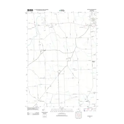
2013 Map of Stanley
USGS Topo · Published 2013About this map
Stanley and the surrounding agricultural landscapes of Ontario and Yates Counties are defined by a network of drainage ways and legacy farmsteads. The terrain is marked by gentle elevations like Locust Hill and the winding course of Flint Cr, which threads through the western portion of the region. This 2013 survey illustrates the area's deep-rooted agrarian character, featuring established names like Red Jacket Orchards, Amberg Wine Cellars, and Lawnhurst Farms.
Find a feature on this map
111 named features on this map. Tap any name to fly to it.
Don’t see what you’re looking for? This feature index may not catch every label — zoom into the map to look around manually.
Map Details
Editions of this 2013 Stanley Map
This is the sole edition of this map. No revisions or reprints were ever made.
Other maps of this area

1902 · Geneva
USGS Topo · 1:62,500

1902 · Phelps
USGS Topo · 1:62,500

1902 · Ovid
USGS Topo · 1:62,500

1903 · Penn Yan
USGS Topo · 1:62,500

1942 · Penn Yan
USGS Topo · 1:31,680

1942 · Rushville
USGS Topo · 1:31,680

1942 · Potter
USGS Topo · 1:31,680

1942 · Stanley
USGS Topo · 1:31,680

1943 · Dresden
USGS Topo · 1:31,680

1943 · Geneva North
USGS Topo · 1:31,680