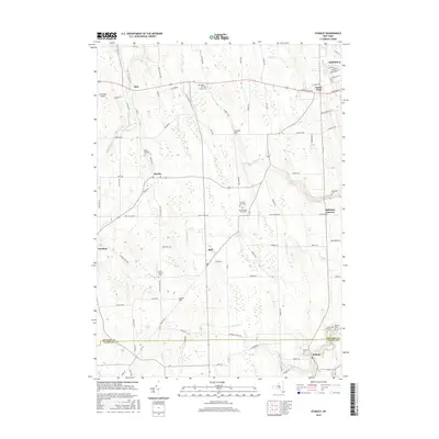
2016 Map of Stanley
USGS Topo · Published 2016About this map
Flint Creek and Wilson Creek carve through the agricultural landscape between Geneva and the southern rural hamlets of Ontario Co and Yates County. This 2016 survey highlights a persistent pattern of small settlements such as Flint, Stanley, and Hall, which are connected by a network of established roads like Canandaigua Road and Lake to Lake Road. The abundance of local burial sites, including the New Number Nine Cemetery and Saint Theresa Cemetery, offers significant detail for genealogical research in these long-standing farming communities. Further south, the map captures the transition into Bellona, where Kashong Creek winds through the hills. This document effectively illustrates the enduring rural character of the Finger Lakes region, where small-scale infrastructure like Mc Bride's Airport sits alongside historic family-named landmarks like Crozier Hill.
Find a feature on this map
95 named features on this map. Tap any name to fly to it.
Don’t see what you’re looking for? This feature index may not catch every label — zoom into the map to look around manually.
Map Details
Editions of this 2016 Stanley Map
This is the sole edition of this map. No revisions or reprints were ever made.
Other maps of this area

1902 · Geneva
USGS Topo · 1:62,500

1902 · Phelps
USGS Topo · 1:62,500

1902 · Ovid
USGS Topo · 1:62,500

1903 · Penn Yan
USGS Topo · 1:62,500

1942 · Penn Yan
USGS Topo · 1:31,680

1942 · Rushville
USGS Topo · 1:31,680

1942 · Potter
USGS Topo · 1:31,680

1942 · Stanley
USGS Topo · 1:31,680

1943 · Dresden
USGS Topo · 1:31,680

1943 · Geneva North
USGS Topo · 1:31,680