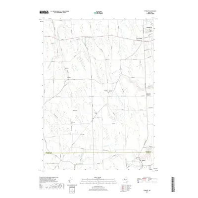
2019 Map of Stanley
USGS Topo · Published 2019About this map
Geneva and its southern agricultural hinterland appear in this survey of the boundary between Ontario and Yates counties. The landscape is defined by the steady flow of Flint Creek and several small tributaries like Kashong Creek and Wilson Creek that cut through the glacial terrain near Crozier Hill. Small rural hamlets and crossroads such as Hall, Stanley, and Flint serve as the primary nodes of activity, connected by a dense grid of local roads like Lake to Lake Road.
Find a feature on this map
102 named features on this map. Tap any name to fly to it.
Don’t see what you’re looking for? This feature index may not catch every label — zoom into the map to look around manually.
Map Details
Editions of this 2019 Stanley Map
This is the sole edition of this map. No revisions or reprints were ever made.
Other maps of this area

1902 · Geneva
USGS Topo · 1:62,500

1902 · Phelps
USGS Topo · 1:62,500

1902 · Ovid
USGS Topo · 1:62,500

1903 · Penn Yan
USGS Topo · 1:62,500

1942 · Penn Yan
USGS Topo · 1:31,680

1942 · Rushville
USGS Topo · 1:31,680

1942 · Potter
USGS Topo · 1:31,680

1942 · Stanley
USGS Topo · 1:31,680

1943 · Dresden
USGS Topo · 1:31,680

1943 · Geneva North
USGS Topo · 1:31,680