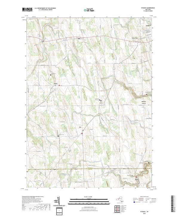
2023 Map of Stanley
USGS Topo · Published 2023About this map
The fertile landscape between Geneva and the Ontario Co Yates Co boundary is defined by a dense network of country roads and family-named cemeteries. This agricultural heartland is segmented by several watercourses, including Flint Creek, Burrell Creek, and Kashong Creek, which flow through a topography punctuated by Crozier Hill and Locust Hill. The settlement pattern centers on small villages and junctions such as Stanley, Flint, Hall, and Bellona, each serving as a local anchor for the surrounding farms.
Find a feature on this map
103 named features on this map. Tap any name to fly to it.
Don’t see what you’re looking for? This feature index may not catch every label — zoom into the map to look around manually.
Map Details
Editions of this 2023 Stanley Map
This is the sole edition of this map. No revisions or reprints were ever made.
Other maps of this area

1902 · Geneva
USGS Topo · 1:62,500

1902 · Phelps
USGS Topo · 1:62,500

1902 · Ovid
USGS Topo · 1:62,500

1903 · Penn Yan
USGS Topo · 1:62,500

1942 · Penn Yan
USGS Topo · 1:31,680

1942 · Rushville
USGS Topo · 1:31,680

1942 · Potter
USGS Topo · 1:31,680

1942 · Stanley
USGS Topo · 1:31,680

1943 · Dresden
USGS Topo · 1:31,680

1943 · Geneva North
USGS Topo · 1:31,680