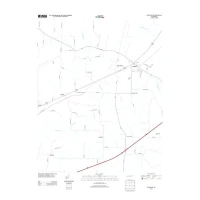
2013 Map of Stanton
USGS Topo · Published 2013About this map
Stanton serves as the primary hub in this Haywood County landscape, situated at the intersection of local rail corridors and early 21st-century highway developments. The settlement pattern reveals several smaller community clusters like Keeling and Birds Bower to the west, and Fredonia and Belmont to the south, reflecting a distributed rural agricultural economy. The land is defined by the drainage systems of Little Muddy Cr and East Beaver Cr, while the Big Muddy Canal cuts through the northeast, indicating historical water management for the surrounding lowlands.
Find a feature on this map
61 named features on this map. Tap any name to fly to it.
Don’t see what you’re looking for? This feature index may not catch every label — zoom into the map to look around manually.
Map Details
Editions of this 2013 Stanton Map
This is the sole edition of this map. No revisions or reprints were ever made.
Other maps of this area

1950 · Brownsville
USGS Topo · 1:24,000

1951 · Brownsville
USGS Topo · 1:24,000

1952 · Stanton
USGS Topo · 1:24,000

1952 · Lambert
USGS Topo · 1:24,000

1952 · Dancyville
USGS Topo · 1:24,000

1952 · Laconia
USGS Topo · 1:24,000

1952 · Stanton
USGS Topo · 1:62,500

1954 · Mason
USGS Topo · 1:62,500

1956 · Blytheville
USGS Topo · 1:250,000

1959 · Blytheville
USGS Topo · 1:250,000