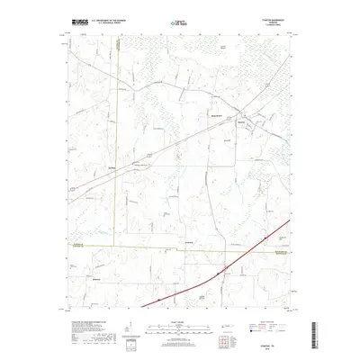
2019 Map of Stanton
USGS Topo · Published 2019About this map
Stanton anchors this West Tennessee landscape where the borders of Haywood, Tipton, and Fayette counties converge. The terrain is defined by the significant bottomlands of the Hatchie Bottom to the north and Cypress Bottom to the south, linked by the winding course of Little Muddy Cr. These wetlands are historically significant as natural barriers that shaped the early settlement patterns and transportation routes of the region.
Find a feature on this map
76 named features on this map. Tap any name to fly to it.
Don’t see what you’re looking for? This feature index may not catch every label — zoom into the map to look around manually.
Map Details
Editions of this 2019 Stanton Map
This is the sole edition of this map. No revisions or reprints were ever made.
Other maps of this area

1950 · Brownsville
USGS Topo · 1:24,000

1951 · Brownsville
USGS Topo · 1:24,000

1952 · Stanton
USGS Topo · 1:24,000

1952 · Lambert
USGS Topo · 1:24,000

1952 · Dancyville
USGS Topo · 1:24,000

1952 · Laconia
USGS Topo · 1:24,000

1952 · Stanton
USGS Topo · 1:62,500

1954 · Mason
USGS Topo · 1:62,500

1956 · Blytheville
USGS Topo · 1:250,000

1959 · Blytheville
USGS Topo · 1:250,000