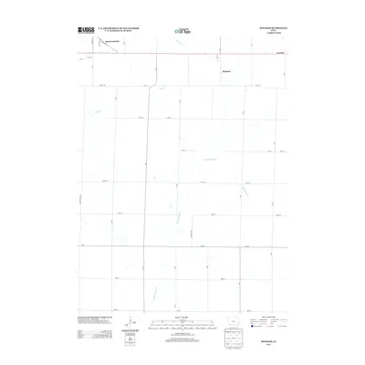
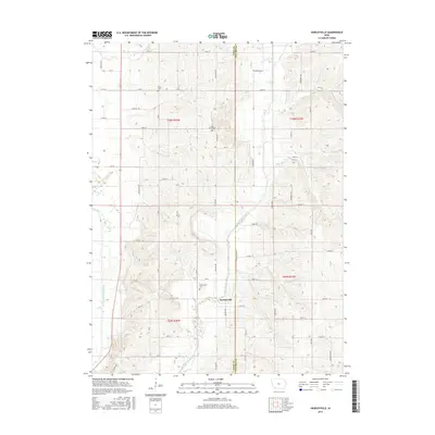
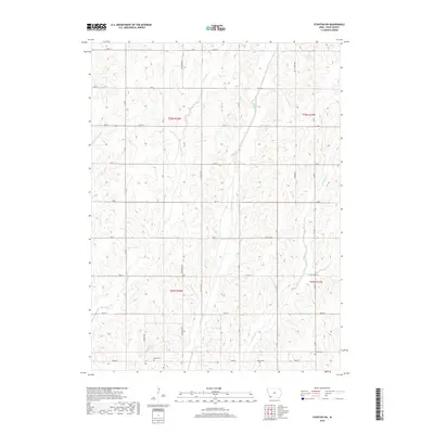
1978 Map of Stanton SW
USGS Topo · Published 1978About this map
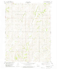
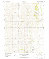
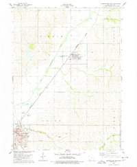
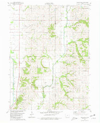
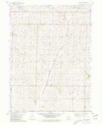
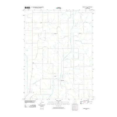
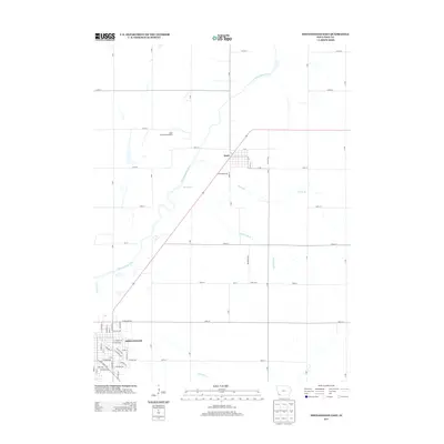
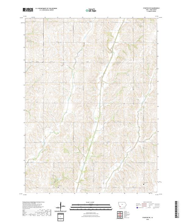
The Tarkio River and its major tributaries, West Tarkio Creek and East Tarkio Creek, dominate this rural corner of Page County in the late 1970s. The landscape is structured by the intersections of four townships—Fremont, Douglas, Tarkio, and Nodaway—reflecting the organized agricultural grid of southwestern Iowa. This survey captures a moment when the section-line road network was well-established, facilitating movement between isolated farmsteads and local communal spaces. Genealogists and local historians can find specific burial grounds maintained within this pastoral setting, notably Baker Cem in the southwest and Summit Cem to the southeast. These small cemeteries serve as quiet markers of the early families who settled the fertile plains between the river forks, showing the distribution of rural populations before further late-century consolidation.
Find a feature on this map
9 named features on this map. Tap any name to fly to it.
Don’t see what you’re looking for? This feature index may not catch every label — zoom into the map to look around manually.
Map Details
Editions of this 1978 Stanton SW Map
This is the sole edition of this map. No revisions or reprints were ever made.
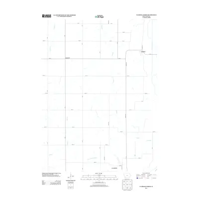
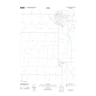
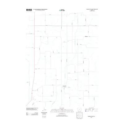
Historical Maps of Page County Through Time
36 maps found
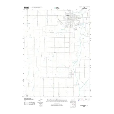
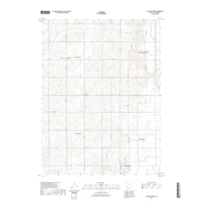
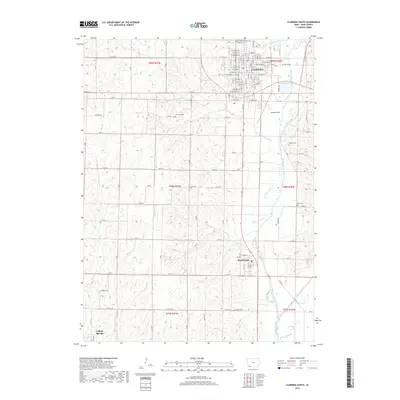
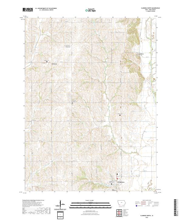
1978 Clarinda North
Page County, IA
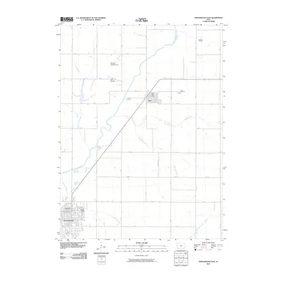
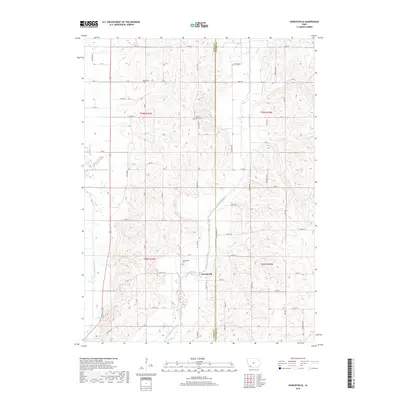
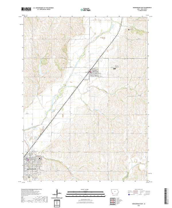
1978 Shenandoah East
Page County, IA
1978 Stanton SW
Page County, IA
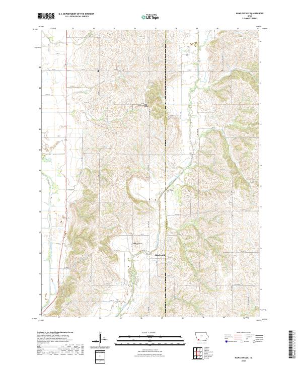
1980 Hawleyville
Page County, IA
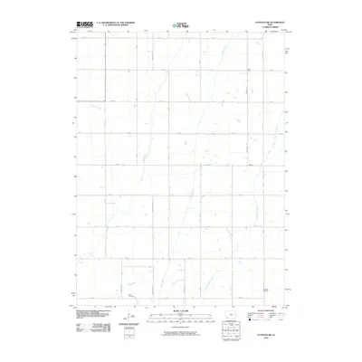
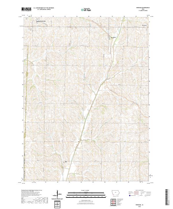
1981 Bingham
Page County, IA
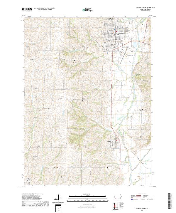
1981 Clarinda South
Page County, IA
2010 Bingham
Page County, IA
2010 Clarinda North
Page County, IA
2010 Clarinda South
Page County, IA
2010 Hawleyville
Page County, IA
2010 Shenandoah East
Page County, IA
2010 Stanton SW
Page County, IA
2013 Bingham
Page County, IA
2013 Clarinda North
Page County, IA
2013 Clarinda South
Page County, IA
2013 Hawleyville
Page County, IA
2013 Shenandoah East
Page County, IA
2013 Stanton SW
Page County, IA
2015 Bingham
Page County, IA
2015 Clarinda North
Page County, IA

2015 Clarinda South
Page County, IA
2015 Hawleyville
Page County, IA
2015 Shenandoah East
Page County, IA
2015 Stanton SW
Page County, IA
2018 Bingham
Page County, IA
2018 Clarinda North
Page County, IA
2018 Clarinda South
Page County, IA
2018 Hawleyville
Page County, IA

2018 Shenandoah East
Page County, IA
2018 Stanton SW
Page County, IA
2022 Bingham
Page County, IA
2022 Clarinda North
Page County, IA
2022 Clarinda South
Page County, IA
2022 Hawleyville
Page County, IA
2022 Shenandoah East
Page County, IA
2022 Stanton SW
Page County, IA