
1978 Map of Shenandoah East
USGS Topo · Published 1978About this map
The East Nishnabotna River carves a broad valley through the Iowa landscape, anchoring the settlement patterns of Page County in the late 1970s. The town of Essex serves as a northern hub, defined by its Burlington Northern rail connection and proximity to the Municipal Airport. Further south, the map reveals a concentrated civic center featuring the City Hall, Post Office, and local schools like Broad St Sch.
Find a feature on this map
28 named features on this map. Tap any name to fly to it.
Don’t see what you’re looking for? This feature index may not catch every label — zoom into the map to look around manually.
Map Details
Editions of this 1978 Shenandoah East Map
This is the sole edition of this map. No revisions or reprints were ever made.
Other maps of this area

1939 · Farragut
USGS Topo · 1:62,500

1940 · Farragut
USGS Topo · 1:62,500

1940 · Coin
USGS Topo · 1:62,500

1943 · Coin
USGS Topo · 1:62,500

1955 · Nebraska City
USGS Topo · 1:250,000

1957 · Nebraska City
USGS Topo · 1:250,000

1958 · Nebraska City
USGS Topo · 1:250,000

1978 · Stanton SW
USGS Topo · 1:24,000
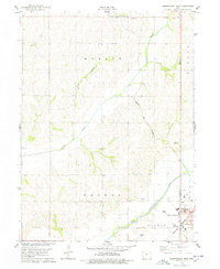
1978 · Shenandoah West
USGS Topo · 1:24,000
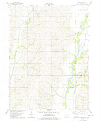
1978 · Coburg
USGS Topo · 1:24,000