
1949 Map of Stantonville
USGS Topo · Published 1952About this map
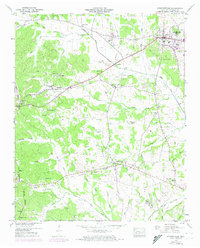
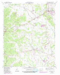
Stantonville and the surrounding Tennessee countryside are captured in this mid-century survey, just as the local road network was beginning to formalize around older settlements. The map highlights a distinct rural pattern of divided communities, such as Old Lawton and New Lawton, and the tiny hamlet of West Shiloh on the eastern edge. The topography is dominated by the Tennessee Valley Divide and an intricate web of watercourses including Snake Creek and Owl Creek. Social life in this era was anchored by institutions like the Clear Creek Church, Meeks Grove Church, and schools such as Lawton Sch. Unique transit features like the Shun Pike and Graham Road trace the movement of people across a landscape defined by significant family landmarks, including Pounds Cem and Williams Cem.
Find a feature on this map
69 named features on this map. Tap any name to fly to it.
Don’t see what you’re looking for? This feature index may not catch every label — zoom into the map to look around manually.
Map Details
Editions of this 1949 Stantonville Map
3 editions found
Other maps of this area

1936 · Counce
USGS Topo · 1:24,000

1936 · Leapwood
USGS Topo · 1:24,000

1936 · Milledgeville
USGS Topo · 1:24,000

1936 · Pittsburg Landing
USGS Topo · 1:24,000

1936 · Purdy
USGS Topo · 1:24,000

1936 · Stantonville
USGS Topo · 1:24,000

1936 · Michie
USGS Topo · 1:24,000

1936 · Mt. Peter
USGS Topo · 1:24,000

1949 · Pittsburg Landing
USGS Topo · 1:24,000

1949 · Leapwood
USGS Topo · 1:24,000