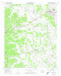
1949 Map of Stantonville
USGS Topo · Published 1974About this map
Stantonville and the surrounding agricultural lands of McNairy County are captured here during a period of infrastructure modernization. The landscape is defined by the Tennessee Valley Divide, which separates the local drainage systems into complex networks of creeks and branches. Notable among these are Little Snake Creek and the Owl Creek Drainage Canal, the latter reflecting mid-century efforts to manage the wetlands and floodplains of the region.
Find a feature on this map
77 named features on this map. Tap any name to fly to it.
Don’t see what you’re looking for? This feature index may not catch every label — zoom into the map to look around manually.
Map Details
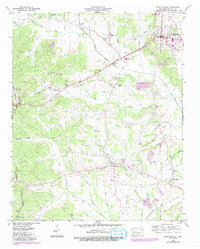
Editions of this 1949 Stantonville Map
3 editions found

Other maps of this area

1936 · Counce
USGS Topo · 1:24,000

1936 · Leapwood
USGS Topo · 1:24,000

1936 · Milledgeville
USGS Topo · 1:24,000

1936 · Pittsburg Landing
USGS Topo · 1:24,000

1936 · Purdy
USGS Topo · 1:24,000

1936 · Stantonville
USGS Topo · 1:24,000

1936 · Michie
USGS Topo · 1:24,000

1936 · Mt. Peter
USGS Topo · 1:24,000

1949 · Pittsburg Landing
USGS Topo · 1:24,000

1949 · Leapwood
USGS Topo · 1:24,000