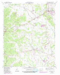
1949 Map of Stantonville
USGS Topo · Published 1992About this map
Stantonville and Adamsville anchor this mid-century portrait of McNairy County, where the landscape is defined by the Tenn Valley Divide snaking through the western hills. The settlement pattern reveals the evolution of local crossroads, notably the distinction between Old Lawton and New Lawton along the historic Shun Pike. The map is dense with genealogical markers, from family burial grounds like Gilchrist Cem and Sanders Cem to the rural gathering point at Meeks Grove Ch.
Find a feature on this map
56 named features on this map. Tap any name to fly to it.
Don’t see what you’re looking for? This feature index may not catch every label — zoom into the map to look around manually.
Map Details
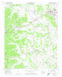
Editions of this 1949 Stantonville Map
3 editions found

Other maps of this area

1936 · Counce
USGS Topo · 1:24,000

1936 · Leapwood
USGS Topo · 1:24,000

1936 · Milledgeville
USGS Topo · 1:24,000

1936 · Pittsburg Landing
USGS Topo · 1:24,000

1936 · Purdy
USGS Topo · 1:24,000

1936 · Stantonville
USGS Topo · 1:24,000

1936 · Michie
USGS Topo · 1:24,000

1936 · Mt. Peter
USGS Topo · 1:24,000

1949 · Pittsburg Landing
USGS Topo · 1:24,000

1949 · Leapwood
USGS Topo · 1:24,000