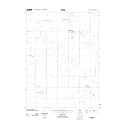
2011 Map of Staplehurst
USGS Topo · Published 2011About this map
The village of Staplehurst serves as the focal point of this Seward County landscape, where the Big Blue River and Lincoln Creek converge. Located just north of the Staplehurst Post Office, the settlement is surrounded by several historical burial grounds including Immanuel Cemetery and Staplehurst Cemetery, providing valuable points of interest for genealogists tracing local families. Further south, the small community of Tamora sits along N Railway St, anchored by its own Tamora Cemetery.
Find a feature on this map
37 named features on this map. Tap any name to fly to it.
Don’t see what you’re looking for? This feature index may not catch every label — zoom into the map to look around manually.
Map Details
Editions of this 2011 Staplehurst Map
This is the sole edition of this map. No revisions or reprints were ever made.
Other maps of this area

1899 · David City
USGS Topo · 1:125,000

1934 · Seward
USGS Topo · 1:48,000

1934 · Utica
USGS Topo · 1:62,500

1937 · Utica
USGS Topo · 1:62,500

1939 · Seward
USGS Topo · 1:62,500

1955 · Fremont
USGS Topo · 1:250,000

1955 · Lincoln
USGS Topo · 1:250,000

1957 · Fremont
USGS Topo · 1:250,000

1957 · Lincoln
USGS Topo · 1:250,000

1958 · Fremont
USGS Topo · 1:250,000