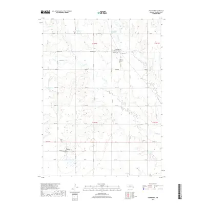
2017 Map of Staplehurst
USGS Topo · Published 2017About this map
Staplehurst stands near the confluence of the Big Blue River and Lincoln Cr in this recent look at Seward County’s agricultural heartland. The landscape is defined by the winding paths of several waterways, including Brush Cr and Cottonwood Cr, which feed into local catchments like Herpolsheimer Reservoir and Dobesh-Swanson Reservoir. This area maintains a strong connection to its pioneer roots, visible through a high density of rural burial grounds such as American Cem, Anderson Cem, and the Immanuel Cem.
Find a feature on this map
31 named features on this map. Tap any name to fly to it.
Don’t see what you’re looking for? This feature index may not catch every label — zoom into the map to look around manually.
Map Details
Editions of this 2017 Staplehurst Map
This is the sole edition of this map. No revisions or reprints were ever made.
Other maps of this area

1899 · David City
USGS Topo · 1:125,000

1934 · Seward
USGS Topo · 1:48,000

1934 · Utica
USGS Topo · 1:62,500

1937 · Utica
USGS Topo · 1:62,500

1939 · Seward
USGS Topo · 1:62,500

1955 · Fremont
USGS Topo · 1:250,000

1955 · Lincoln
USGS Topo · 1:250,000

1957 · Fremont
USGS Topo · 1:250,000

1957 · Lincoln
USGS Topo · 1:250,000

1958 · Fremont
USGS Topo · 1:250,000