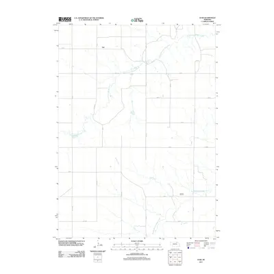
2011 Map of Star
USGS Topo · Published 2011About this map
The settlement of Star and its surrounding agricultural landscape are defined by the convergence of several major waterways in northeastern Nebraska. This 2011 survey by the U.S. Geological Survey illustrates a highly organized grid of rural roads, including Co Oil Rd and Koplin Rd, which facilitate transport across the drainage basins of the North Branch Verdigre Creek and Middle Branch Verdigre Creek.
Find a feature on this map
22 named features on this map. Tap any name to fly to it.
Don’t see what you’re looking for? This feature index may not catch every label — zoom into the map to look around manually.
Map Details
Editions of this 2011 Star Map
This is the sole edition of this map. No revisions or reprints were ever made.
Other maps of this area

1950 · Dorsey NW
USGS Topo · 1:24,000

1950 · Pishelville
USGS Topo · 1:24,000

1952 · Dorsey
USGS Topo · 1:24,000

1954 · Walnut
USGS Topo · 1:24,000

1954 · Dorsey SW
USGS Topo · 1:24,000

1954 · Star
USGS Topo · 1:24,000

1955 · O'Neill
USGS Topo · 1:250,000

1958 · Page
USGS Topo · 1:24,000

1959 · O'Neill
USGS Topo · 1:250,000

1963 · Venus
USGS Topo · 1:24,000