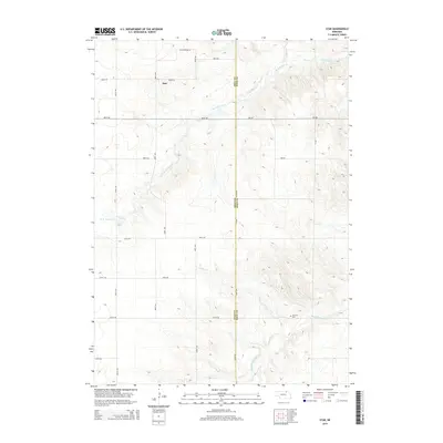
2014 Map of Star
USGS Topo · Published 2014About this map
Star sits on the high plains of north-central Nebraska, serving as a focal point for this rural landscape where the border between Holt and Knox counties divides the terrain. The area is defined by the winding paths of the N Br Verdigre Cr and Middle Br Verdigre Cr, which carve subtle drainage patterns through the prairie. Near the southern edge of the map, the Grimton Cem provides a specific point of interest for genealogists, located near the confluence of Lamb Cr and the middle branch of the creek. The grid of section roads, including 882nd Rd and 881st Rd, reflects the enduring agricultural organization of the Sandhills region. This 2014 survey documents a sparsely populated but historically rooted area where topography and water sources dictated the placement of early settlements and family burial grounds.
Find a feature on this map
17 named features on this map. Tap any name to fly to it.
Don’t see what you’re looking for? This feature index may not catch every label — zoom into the map to look around manually.
Map Details
Editions of this 2014 Star Map
This is the sole edition of this map. No revisions or reprints were ever made.
Other maps of this area

1950 · Dorsey NW
USGS Topo · 1:24,000

1950 · Pishelville
USGS Topo · 1:24,000

1952 · Dorsey
USGS Topo · 1:24,000

1954 · Walnut
USGS Topo · 1:24,000

1954 · Dorsey SW
USGS Topo · 1:24,000

1954 · Star
USGS Topo · 1:24,000

1955 · O'Neill
USGS Topo · 1:250,000

1958 · Page
USGS Topo · 1:24,000

1959 · O'Neill
USGS Topo · 1:250,000

1963 · Venus
USGS Topo · 1:24,000